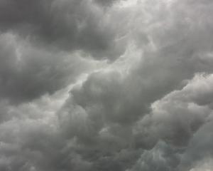
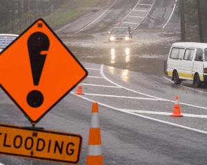
Heavy rain is forecast for the eastern Bay of Plenty and Gisborne from tonight until tomorrow afternoon, but the North Island should narrowly escape a "weather bomb", say forecasters.
Heavy rain and gales could damage trees and powerlines in exposed places around Gisborne, the MetService said.
The rain should start east of Opotiki and north of Tokomaru Bay this evening and then spread south to the Waipaoa catchment tomorrow morning, said MetService forecaster John Crouch.
Streams and rivers in the high country could rise quickly and there could be road slips as between 80mm and 120mm is forecast for the hills and high country.
Independent weather analyst Philip Duncan said tonight could see a relatively rare event -- a "weather bomb".
The technical definition of a weather bomb was air pressure falling 24hPa in 24 hours, and Mr Duncan said that according to MetService charts, the low pressure system developing off the Northland coast could fall 33hPa.
A weather bomb could be compared to a car tyre deflating in seconds.
"It's dramatic and can be violent. But the good news for New Zealand is that the storm will rapidly form as it moves away from us -- to the east of the country.
"So while it's a `bomb' it's not going to explode over us."
Meanwhile, a colder front was approaching the South Island which meant a cold, windy weekend for much of the country, with light snow showers to low levels, he said.


