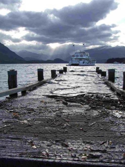
However, the rain is not expected to have much effect on lake levels.
MetService is forecasting 90mm to 120mm of rain will hit Fiordland and the West Coast today, and some of the rain is also expected to spill over into the headwaters of Otago's lakes and rivers.
Significant downpours are predicted this morning. Rain is expected to develop in many areas of the lower South Island until tomorrow.
About 150mm to 200mm of rain is expected in mountain ranges of the Southern Lakes, with some places in the ranges possibly receiving 300mm.
The heavy rainfalls could exacerbate the high levels and flows of the already swollen lakes and rivers of the region, MetService said.
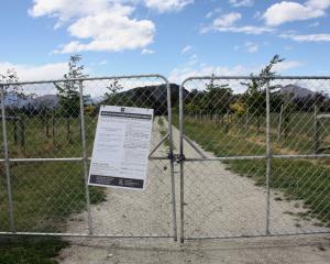
Queenstown Lakes District Council spokeswoman Rebecca Pitt said the level of Lake Wakatipu had continually dropped during the past few days so that yesterday it sat 14cm below the lake's first flood-alert level.
The level of Wakatipu was 32cm lower than its Saturday peak of 311.48m above sea level, she said yesterday.
Lake Wanaka has also dropped steadily to sit at 278.54m, down from its Saturday peak of about 279.2m, well down from a first flood level of 279.4m.
Despite the heavy rain forecast by MetService, Ms Pitt said the Otago Regional Council was predicting it would have little effect on lake levels.