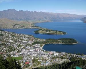
The golden weather in Otago may be on pause today. The MetService is forecasting heavy rain in the headwaters of Otago rivers this morning, scattered rain elsewhere and snow to 1300m.
The Cardrona Alpine Resort might get 3cm, Treble Cone 6cm, the Remarkables 4cm and Coronet Peak 1cm - their first fresh snow for between three and four weeks.
The MetService is also predicting northerly and northwesterly gales of up to 90kmh in the mountains today, but they should die away this afternoon, and fine weather should return tomorrow.
Parts of the North Island and the top of the South Island are expecting heavy rain through the weekend.
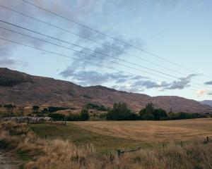
Niwa climate scientist Gregor Macara said earlier this week many parts of the South had been ''tracking towards'' record dry spells after relatively warm, dry weather began in mid-August.
A dry spell is defined as a period of 15 days or more with less than 1mm of rain on any one day.
The dry spell began on August 12 in Wanaka; on August 15 in Queenstown, Alexandra, Cromwell, Clyde, Lauder, Ranfurly, Middlemarch, Mt Cook Village, Roxburgh, Oamaru and Manapouri; on August 19 at Milford Sound; and on August 22 in Dunedin.
Wanaka's longest dry spell on record is 55 days and Queenstown's 59 days.
The West Coast is also in the throes of a drought and no rain has been recorded for 24 days. But that could change with MetService forecasting 100mm to fall in the next 10 days.