Bad weather is hampering survey work on part of the Rees-Dart Track to ascertain whether it will reopen for the tramping season.
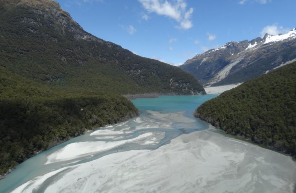
The lower section of track in the Dart Valley between Bedford Stream and the Daleys Flat hut was destroyed by a landslip in early 2014.
The Department of Conservation planned to complete visual inspections this week, but windy and rainy conditions prevented this. Doc partnerships ranger Chris Hankin, of Queenstown, said Doc needed a calm day as some of the inspection sites were steep and exposed to the river.
Two ground inspections were planned - one this month and a second in early January.
''Doc has not been able to commence repairing the sections of track lost to the landslide. It is important to wait for the situation to stabilise so that a safe and enduring route for a new track can be found,'' Mr Hankin said.
Reinstating the track would involve creating a rough route leading walkers to a series of steep bluffs and then creating safe passage through the bluffs, which would require some more work to make it safe, he said. In the best-case scenario, the track would reopen at the end of January, but any more bad weather could delay that further, Mr Hankin said.
While work on this section continued, Mr Hankin was keen to stress it was business as usual for the rest of the track and he encouraged trampers to use the other parts of the route.
''Shelter Rock hut in the Rees Valley, the upper Snowy Bridge and Dart hut are all prepared and ready for trampers walking from the Rees Valley or Matukituki,'' he said.
Trampers should contact the Queenstown or Wanaka Doc visitor centres for the latest information in case conditions changed, Mr Hankin said.
- Louise Scott