
A blast of wintry weather bringing gale-force winds and heavy rain to parts of New Zealand may be welcomed by some people as skifields around the country receive a dumping of snow.
Weather watches are in place for many areas, including parts of Otago and Southland, as a front that brought storms today is followed by another tomorrow.
MetService said this second front would be preceded by northwest gales and another burst of heavy rain for western parts of both islands.
A weather watch for heavy rain was in place for areas including Central Otago, Fiordland, Taranaki, Hawke's Bay, Tararua, Wellington and Marlborough.
#NewZealand
— Chester Lampkin (@chesterlampkin) July 14, 2016
Updated Wind Watches & Warning map for Today & Friday. More---> https://t.co/V44lJCbjtV pic.twitter.com/0yK62X1hy6
The main divide could expect up to 130mm of rain, while lower-lying areas could expect up to 70mm.
MetService said inland parts of Otago and Southland could expect severe northwest gales from tonight until early tomorrow, while west to southwest gales were likely in coast Southland and Otago, from the Otago Peninsula southwards through the course of tomorrow.
Strong northwest gales winds of up to 100kmh, downpours and possible hail could be expected before dawn in Taranaki, Kapiti Coast and the West Coast.
Good news for skiers
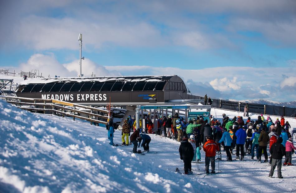
A decent dump of snow had covered skifields in Queenstown overnight and this morning, MetService meteorologist Lisa Murray said.
"They would get more as well today which will be very welcoming for the fields," she said.
NZKi reported Coronet Peak received 10cm of snow overnight and it continues to fall, and a good 12cm to 16cm has fallen at The Remarkables.
The sun showed its face briefly today, allowing skiers and boarders to make the most of the fresh powder.
The weather is forecast to close in again as heavy snowfalls are predicted overnight tonight and into tomorrow.
Coronet Peak now boasts a 45cm snow base at the top of the mountain, with a 60cm base at The Remarkables.
Ross Lawrence from The Remarkables said new snow had "changed the landscape".
"We're all very excited and people up here are absolutely fizzing about the conditions. It's still looking really good for more snow over the next 24 to 36 hours," he said.
Ms Murray said skiers in the North Island would also be pleased, as Whakapapa ski field received 20cm of snow overnight.
"They have a good band of rain which is falling as snow," she said.
On the roads, the snow has led to warnings for several South Island highway passes.
The Milford Rd remains closed from Hollyford, and MetService has issued warnings for the Haast, Lindis, Lewis and Arthurs passes, saying they could be affected by snow until this evening, and more is expected tomorrow.
The Queenstown Lakes District Council advised this morning that chains were required on the Crown Range road after heavy falls this morning.
Meanwhile, a thunderstorm battered the north of Wellington in the early hours of today.
Areas including Lower Hutt, Johnsonville and the Kapiti Coast had gusts of up to 140kmh and heavy rainfall.
"It kicked off in the northern suburbs ... we had about 21 lightning strikes," Murray said.
Mana Island had winds of up to 87kmh with Kelburn getting gusts of up to 109kmh.


