Excitingly, the latest section of the shared peninsula path was opened just last week. The rollout of this 3.3km chunk between Company Bay and Broad Bay is the 12th stage of 16.

As fun as it is to explore this new bit of harbourside, there’s now the option of linking the freshly opened path with an inland loop down the backbone of the peninsula.
Start off in Macandrew Bay’s Greenacres St, which looks as tame as any suburban street. It quickly reveals itself to be no such thing when it passes a surprise cemetery the size of a couple of house sections.
The cemetery is old enough to be the final resting place for early settler James Macandrew, whose surname was adopted as the European name for the bay.
This politician and businessman had great energy and enthusiasm for early Dunedin’s economic advancement, helping found the medical school, backing the campaign for a girls’ high school and endowing Otago University with 100,000 acres ((40,470ha).
On Sundays he walked from his farm in the northeast harbour up the hill to Pukehiki for church. Greenacres St goes up there via a natural valley, so I wonder if it’s the same route. Mr Macandrew died in 1887 after being thrown from a carriage outside his house.
Despite the cemetery’s age and tiny size, burial plots for first interments are still available.
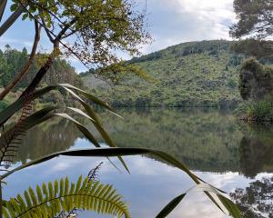
Greenacres St soon changes into a wide dirt road going past paddocks and huge eucalypts. For a binocular-like view of the harbour, look back over your shoulder through the circle of trees framing the road.
After a reasonably decent uphill slog up Greenacres Track you hit the high road with its narrow margins and close corners — definitely an earbud-free zone.
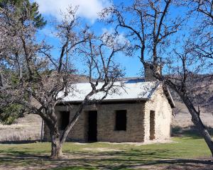
You’ll pass Pukehiki Church. It was built in 1868 so presumably will have been that worshipped in by Mr Macandrew. It’s now one of the best preserved and least modified examples of a South Island mid-Victorian church and is listed as category 2 by Heritage New Zealand Pouhere Taonga.

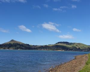
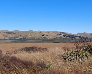
On a clear day the high road gives great glimpses over the harbour back to the city. On another day it might be a case of moody mist tickling spooky macrocarpas. And your cheeks.
It can feel funny arriving at Larnach Castle on foot. Just before entering, veer right down Camp Rd for bird’s eye views up the peninsula.
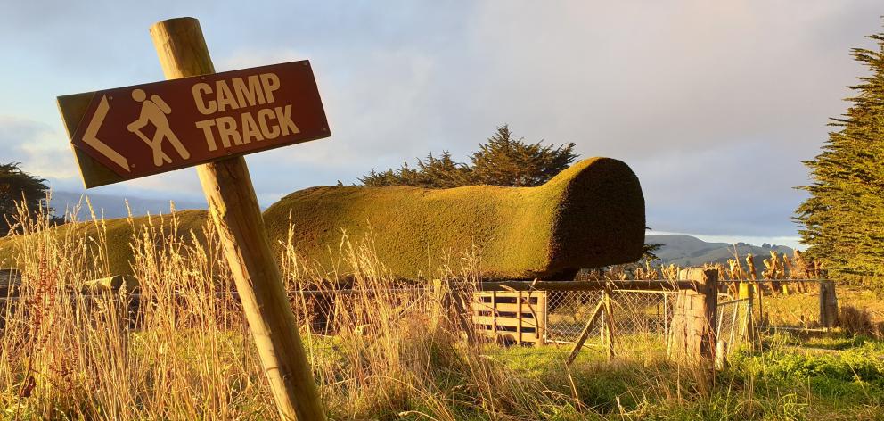
Camp Rd becomes a public track bordering farmland. If you time it around sunset, Camp Track gives views over sky and water flashing anything from pastels to fluoros.
At the left another public access way crosses farmland to McTaggart St. We’re so lucky to use these easements. To allow lambing it’s closed from September 1 until November 1.
If so, you can pop out at the bottom of Camp Rd, where you’ll meet up with the brand new, safe and scenic harbourside path back to Macandrew Bay.
- Clare Fraser