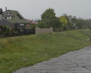
Photo: Stephen Jaquiery
A front embedded in a northwest flow will move over the South Island tomorrow and Friday, bringing a ''moderate'' risk of heavy rainfall reaching warning amounts in Fiordland and southern Westland, and the possibility of severe gales gusting to 110kmh in Central Otago and Southland.
Householders and businesses are advised to secure any loose property.