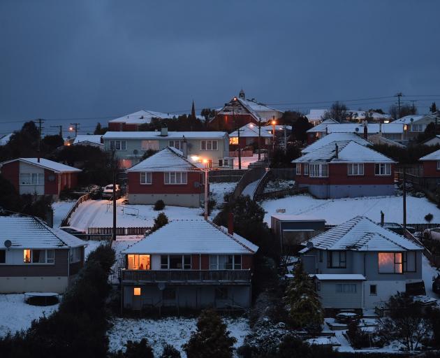
MetService has lifted its warning for snow in Dunedin tonight, but says some may still fall in sheltered parts of Central Otago.
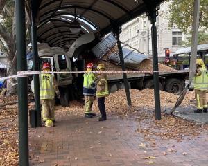
The news comes as a reprieve after a wintry blast closed roads, caused several crashes and prompted delayed starts for some southern schools this morning.
MetService meteorologist Kyle Lee said another front was expected to pass over the South Island tonight, but it was not expected to drop any heavy snow below 600m.
He said snow warnings for coastal Otago (including Dunedin) had been lifted, but warned some sheltered valleys in Central Otago could see a dusting down to 300m.
Mr Lee said ''quite nice settled conditions'' were forecast for the next few days, which were likely to result in frosty conditions in sheltered places.
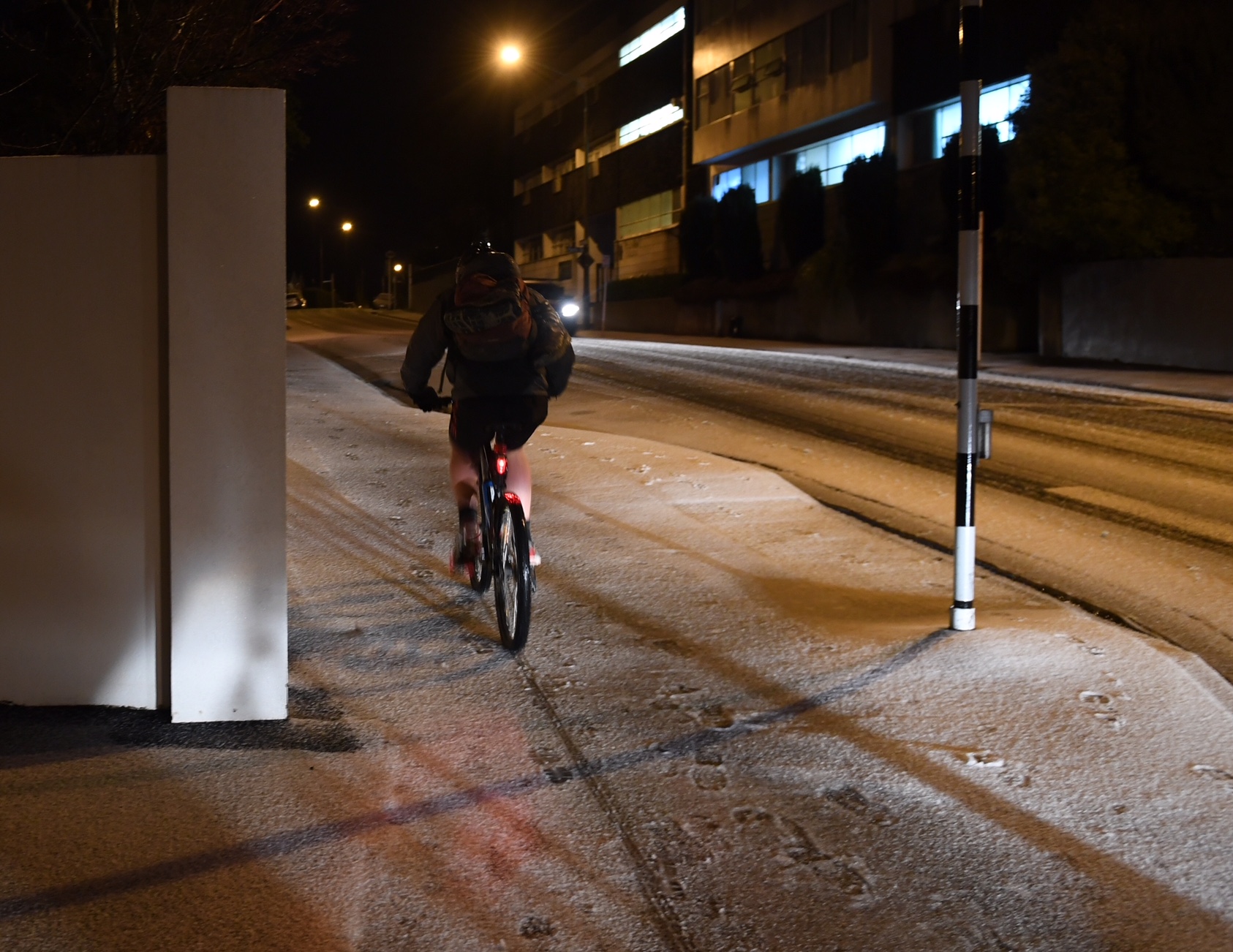
The NZ Transport Agency this evening warned that wet and icy road conditions were likely in many areas in the South tomorrow morning. Snow and ice warnings were in place for many southern highways.

“Drivers in places like inland Southland need to be ready for black ice particularly at daybreak,” NZTA Senior Journey Manager Neil Walker said.
“Please slow down if you are driving on these highways in the early morning. Ice-prone highways will be gritted but snow or rain and freezing temperatures can still make them dangerous.
He said Otago drivers needed to be ready for ice across most of the network tomorrow morning, and urged motorists to slow down on gritted roads. Crews would be out gritting highways tonight and before dawn tomorrow.
The NZTA earlier issued warnings advising that more snow was expected in the South this evening and early tomorrow morning.
Several highways were closed this morning but by 2.30pm all had reopened.
The Lindis Pass (SH8) was closed for a time and several trucks were lined up in Omarama waiting for conditions to allow them to traverse the pass.
Snow disruptions
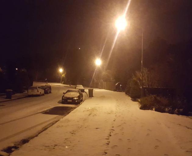
Snow on Dunedin's hills this morning prompted a warning from the Dunedin City Council for road users to take care.
At least three vehicles slid down a bank in Elgin Rd but all the occupants were uninjured.
A number of schools in the city had a delayed start, and some bus services were affected.
In Queenstown, snow and ice affected all roads across the district, resulting in dangerous driving conditions around Fernhill and Arthurs Point. Some bus services were affected.
The Crown Range road is open, but chains are essential.
Wakatipu High School, Queenstown Primary and Shotover Primary closed for the day, while all other schools in the Wakatipu Basin had a delayed start.
In Manuherikia and Maniototo, snow and ice were turning to slush this afternoon. However, there were still some areas of hard frozen snow and ice in shaded areas and hill sections, so caution was advised, the Central Otago District Council said.
The roads are clear in Cromwell and Alexandra.
n the Clutha district road users were urged to take care and drive to the conditions as the snow and rain were expected to continue off and on all day.
Nicole Bath (9) sledding in Lake Hayes Estate in Queenstown. Video: Guy Williams