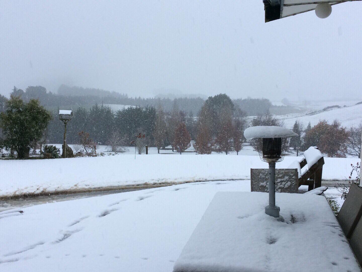
Parts of Otago are already coated in white and police are warning Dunedin motorists to avoid unnecessary travel with snow forecast to fall as low as 100m overnight.
Meteorologist Mark Bowe said snow and hail would start to fall from about 8pm tonight and would continue into tomorrow morning.
"Any terrain above 100m can expect some snow.
"Driving conditions will be quite hazardous.''
He recommended drivers take great care on the roads and farmers move stock to sheltered areas.
This message was mirrored by Southern District Police which said on social media that Dunedin motorists should be cautious on the roads.
"We're advising against any unnecessary travel, but if you really have to head out on the road, please take extreme care and ensure you drive to the conditions."
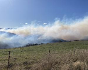
By 4.30pm snow was already making an impact in South Otago and Southland with a caution in place for SH93 from Clinton to Mataura.
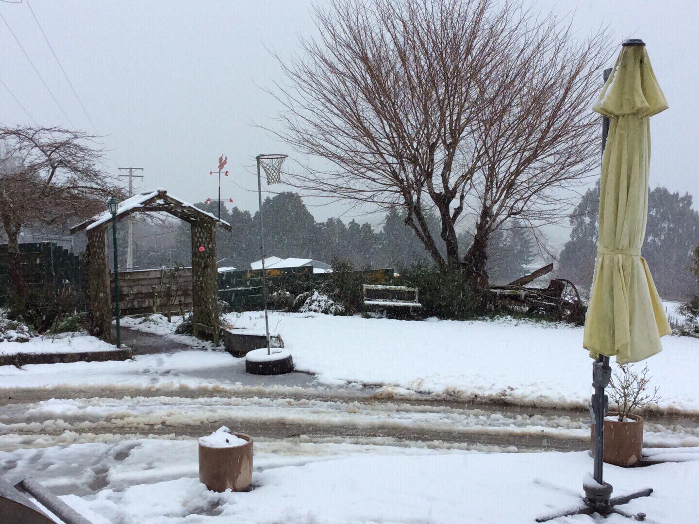
It started snowing this morning before becoming heavier about 11am and had become even thicker since then.
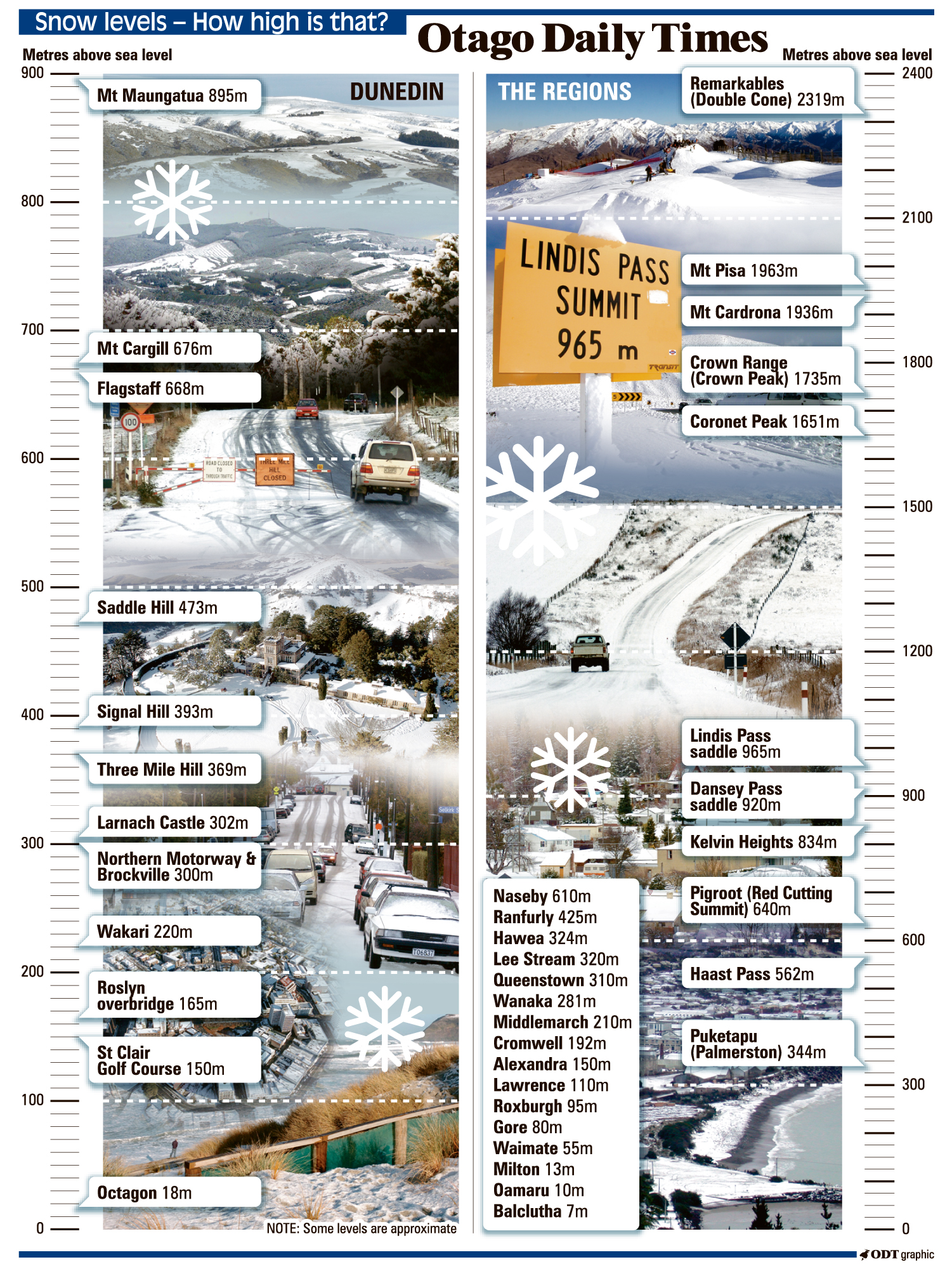
MetService said snow accumulations may reach "warning'' criteria above 400m in Fiordland, Southland, Clutha and Otago during Monday night and early Tuesday morning.
People are advised to keep up to date with the latest forecasts in case parts of the forecast are upgraded to a full warning or new areas are added.
Road snowfall warnings are in place across the south including for SH1 between Dunedin and Waitati where 2 to 4cm could accumulate about the summit between 1am and 2pm tomorrow.
Meanwhile, rockfalls in the Cromwell Gorge has meant areas of the gorge will be under stop/go control today.
The New Zealand Transport Agency said stop/go signs would be operating between 8am and 5pm on the gorge, between Alexandra and Cromwell, today and possibly tomorrow.
Road users were asked to prepare for delays of up to ten minutes and to take care travelling through the gorge.
Elsewhere, heavy snow has closed some highways and alpine roads.
The Lewis Pass (State Highway 7) near Hanmer Springs and SH94 between Hollyford Road and Milford are both closed due to snow.
NZTA said chains are required on the Lindis Pass, which has been closed to all towing vehicles due to ice, and between Te Anau and Hollyford Road.
The Queenstown Lakes District Council has said the Crown Range Rd was also closed due to snow, however it reopened at noon for vehicles with chains.
An alternate route through the Kawarau Gorge remained open but drivers were told to be cautious and to expect black ice.
Black ice could also be expected on Malagans Rd, Glenorchy Rd, Fernhill Rd, around Arthur's Point and Kelvin Heights.