It is still too early to estimate how strong the impending El Nino will be, Niwa says.
International guidance indicates El Nino is now the most likely weather pattern to dominate in coming months, Niwa's seasonal climate outlook for June to August says.
''However, to date the atmosphere has not fully responded to the oceanic anomalies,'' it said.
While there was a 60% chance of El Nino developing this winter, there was a 70% chance of it being active in spring and summer.
''If the system develops as expected, El Nino typically reaches its peak during our summer, where it is related to stronger or more frequent westerly winds.''
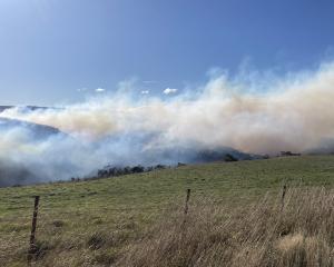
This typically led to dry conditions in east coast areas and more rain in the west.
Despite similarities in the oceanic anomalies to those recorded before the 1997-98 El Nino, it was too early to comment on the potential strength of the event, the outlook said.
The outlook indicated temperatures would be above average or average throughout Otago, while rainfall would be in the near-normal range.
River flows would be in the near-normal range, but soil moisture levels inland would be in the near-normal or below-normal range and on the coast in the normal or above-normal range.