
Flights have resumed after a heavy blanket of fog settled over parts of Auckland earlier this morning.
At Auckland Airport, 26 domestic flights were cancelled and 27 delayed. Fog restrictions were put in place about 4am but were lifted at 9.05am.
Affected flights included one to Wellington cancelled, and eight delayed to Queenstown and Christchurch.
International flights were not affected.
MetService lead meteorologist Mark Todd said in the North Island the fog stretched from Auckland through Waikato, Waitomo and Taumarunui.
"It set in overnight, but in Auckland it was more early morning."
The New Zealand Transport Agency earlier warned of heavy patches of fog on Auckland's Southern and Northwestern Motorways.
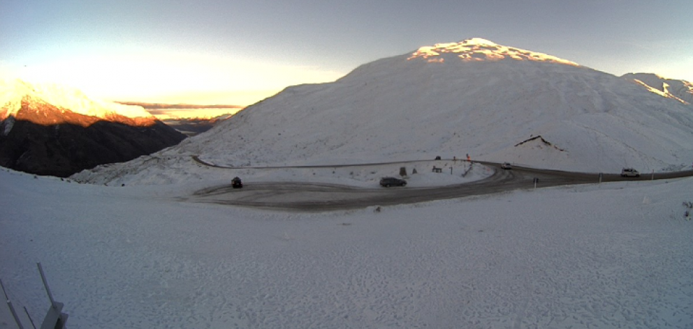
Thick fog in parts of South
Thick patches of thick fog were also affecting parts of the South this morning.
Councils in Queenstown and Central Otago advised motorists to take care due to fog and the risk of ice.
A snowy Crown Range linking Queenstown and Wanaka was well gritted.
Chilly start for many
Central parts of the country continued the cold spell, with temperatures about 5.30am dropping well into the negatives this morning.
In the South Island, Tekapo was at -4degC and Pukaki -5degC, while the central North Island was sitting around -2degC.
Temperatures in Central Otago were between -1deC and 2degC.
However, most of the country would clear for a fine day, MetService's Mark Todd said.
Northland could start the day with a few showers, but these would be gone early afternoon.
The only other areas with a bit of unsettled weather were the North Island's East Coast, which would get a few isolated showers from Gisborne to Wairarapa, and the far south around Southland and Clutha.
Saturday was looking like the best day of the weekend, Todd said.
"It will start off fairly cool again, but should warm up across the country."
The ridge of high pressure covering the country was expected to slowly move away east on Saturday, as a front approached from the Tasman Sea.
The front arriving on Sunday would start to affect the West Coast of the South Island and lower North Island late on Saturday.
On Sunday, periods of rain were forecast for many places, including potentially heavy rain about Westland, Buller and northwest Nelson, Taranaki and the Tararua Range.
A showery west to southwest flow would follow on Monday, when westerly gales were possible about the lower North Island.
A ridge was forecast to spread over much of the country on Tuesday, easing the southwesterlies and showers for most places.
However, the showers would persist about Northland, as the winds tended easterly there.


