Researchers have created a map pinpointing the exact location of every accident involving a car door being opened on a cyclist in New Zealand in the last five years.
The online map was created by laying data from New Zealand Traffic Crash Reports from 2007 - 2011 on top of Google Maps, and is believed to be world first.
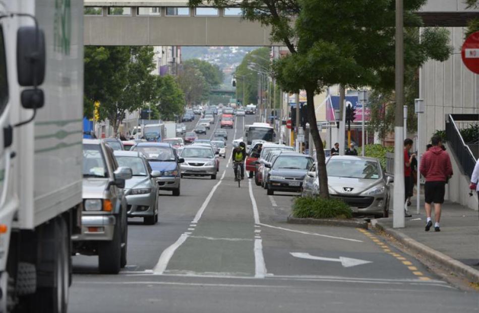
The University of Otago injury prevention researchers created the tool with the idea of helping city planners and traffic engineers identify dangerous routes for cyclists.
Director of the university's Injury Prevention Unit Professor Hank Weiss said the map - the first to cover an entire country - would let cyclists know where their local "dooring" hazard areas were.
"By highlighting particular problem areas we can look at what kind of solutions can make these streets safe and convenient for all road users," Weiss said.
"While this may involve compromises, we need to pay special attention to the vulnerability of cyclists who wish to ride in safer environments."
The map shows the location of 245 dooring injuries over the five years, how serious they were and the direction the cyclist was travelling.
About 20 per cent of those hurt were seriously injured and two died.
The data also showed that men were twice as likely to be involved in a dooring crash than women.
Users can also click into a street view of the crash site to see a photo of how the road side might have looked.
While it's probable there were more than 245 incidents over the five years, "it is great to have such fine detail about the crash type and location for so many cases", Weiss said.
Weiss' idea for the map came after the death of a cyclist on Auckland's Tamaki Drive in 2010, a roadway shown on the map to have a cluster of crashes.
Other significant hazard areas include Victoria St in Hamilton and Riccarton Rd in Christchurch.
Map: https://blogs.otago.ac.nz/ipru/research/cyclistdooringmap