A new rain threat is looming for flood-ravaged Bay of Plenty where up to a month's worth of rain is forecast to fall in just under a day.
Much of central and northern New Zealand is under heavy rain warnings and watches as the remnants of ex-tropical Cyclone Donna injects moist tropical air into a sputtering low tracking slowly across the country.
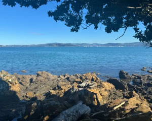
The worst rain will fall over Nelson, Mt Taranaki, Bay of Plenty and the Gisborne ranges.
The MetService is forecasting an intense 21-hour period of heavy rain over Bay of Plenty and the Gisborne Ranges. Up to 160 mm of rain is forecast to fall between 8pm and 5pm tomorrow.
The rain was expected to take hold over the North Island this morning with heavy downpours in the top half.
Bay of Plenty Civil Defence has put the region on notice as it still recovers from the damage left by back-to-back cyclones last month.
The heaviest rain was expected across Auckland tonight, including 100km/h gales in exposed areas.
However, the MetService said it was uncertain where the low would track and if it changed course this was expected to significantly affect the weather for each region.
Meanwhile, the Fiji Meteorological Service is bracing for the newly formed Tropical Cyclone Ella.
It is now a Category 2 storm lying to the northeast of Fiji.
It was expected to intensify as it moved closer to land.