Yesterday, MetService said snow was forecast to lower to 400m last night and then to 200m from early this morning, and snowfall warnings were issued yesterday for the alpine passes and Dunedin’s northern motorway.
However, the forecaster this morning said snow and rain had eased in Southland and Otago, and was now hitting Canterbury and Marlborough. All highways in the South are open.
The snow arrived with a nasty low that was moving over the country, bringing low temperatures, icy winds and rain to many areas.
It was a wet morning for most of New Zealand, and cold air and rain are set to blanket the North Island and eastern South Island for most of the day.
It was happening already in Wellington, with persistent rain with heavy falls predicted from midday until Tuesday morning, Metservice meteorologist Lisa Murray said.
"So quite a blast of southerlies, some really cool temperatures over the next few days. Maximum temperatures are really just getting past 10 maybe 11 degrees."
A slip had already fallen on to the front of a car on Ohiro Rd in Brooklyn.
Another slip came down on the westbound lane of State Highway 58 earlier, but has since been partially cleared.
A council spokeswoman said people should make sure their gutters were clear and trampolines tied down.
Ferry sailings
The MetService has issued a strong wind warning and a heavy rain warning for the region. The weather was also affecting ferries travelling across Cook Strait.
Later in the afternoon southerlies were expected to rise to gale force gusting as strong as 120km/h in exposed places through into the night.
Strait ferry operator Bluebridge said passenger sailings today and tomorrow could be affected.
Strong, cold southerlies
Much of the country was being hit by wild weather, Metservice meteorologist Angus Hines said. Strong cold southerlies were expected in many places as the system moved north.
A strong wind warning was in place for central parts of the country including the Kaikoura Coast, Wellington and the Marlborough Sounds.
A strong wind watch was in place for Christchurch and Banks Peninsula and the Wairarapa south of Martinborough.
There was a heavy rain watch in place for Wellington and the southern Wairarapa.
MetService meteorologist Mark Bowe said the key feature to watch out for was the wind.
"The key feature today is the wind warnings, they will kick in at 4pm until tomorrow morning."
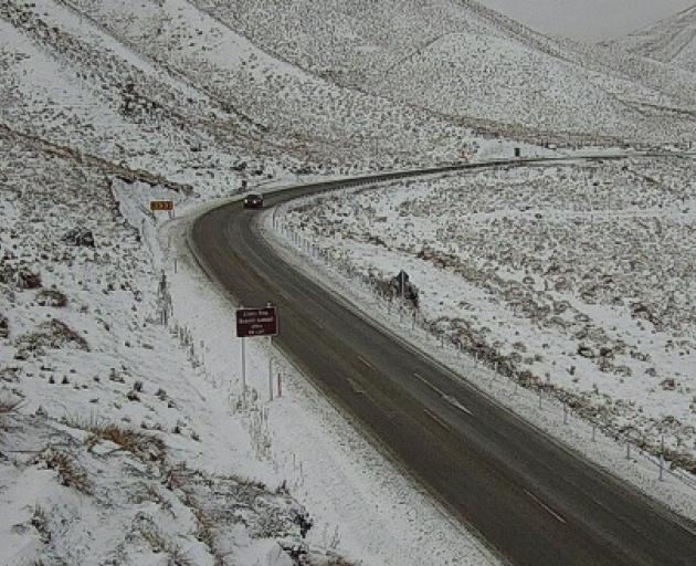
As the complex low moved through, snow was falling to 500m in the South Island and this afternoon was expected to 1000m in the North Island.
"That will affect places like the Desert Road."
From Northland to Taranaki and across to Taupō and Bay of Plenty, there was a moderate risk of thunderstorms developing from about dawn.
"A lower risk of thunderstorms extends to most remaining areas of the North Island north of Wellington and to western Nelson and Buller in the northwest of the South Island," Meteorologist Andy Best said.
The forecast was not unexpected as the transition from winter to spring often brought turbulent weather, Best said.
"Seas are still relatively cold around Aotearoa, but as the subtropics start heating up quickly and temperatures remain cold to the south, the thermal contrast can result in strong spring winds.
"We can also still experience very cold outbreaks, as southerly changes push up the country from the Southern Ocean."