A weather system with quite a bit of punch to it will bring unsettled weather to much of the country for several days.
MetService has issued a number of watches and warnings for central and northern New Zealand as a deep and active low sits over the country for much of the week.
The northern half of the North Island could experience active thunderstorms for the next day, while a slow-moving frontal band would bring heavy rain to the eastern regions of both islands, MetService spokesman Daniel Corbett said.
"This weather system will have quite a bit of punch to it, and it will linger across central and northern New Zealand for several days,'' he said.
Periods of rain would spread to the South Island today, and would remain until the middle of the week.
Strong to severe gales, mostly in the far south, were possible.
Snow would fall to 1000m in the South Island, Mr Corbett said.
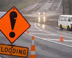
The wild weather, which started yesterday, saw 100mm of rain fall in the Coromandel area in 24 hours and emergency services received several reports of trees falling as a result of high winds buffeting Auckland.
Up to 200 properties were without power last night in the west Auckland suburb of Glen Eden, thought to have been caused by a tree falling on power lines.
WeatherWatch forecaster Aaron Wilkinson said the low would start to ease on Wednesday and would continue to weaken heading into the weekend.
Overnight lows could be above average, he said, while daytime highs could be slightly above average.
The upper parts of the North Island could have highs in the late teens, and overnight lows in the double digits.


