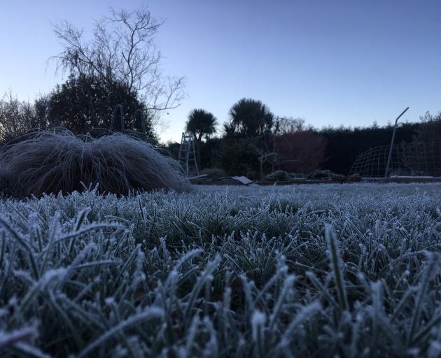
It was a crisp and frosty morning for many in the South, as temperatures plummeted overnight under a clear winter night’s sky.
At 5.30am today, Dunedin Airport recorded a bone-chilling -6degC and Pukaki Airfield in Tekapo -7degC, while Queenstown had yet to get above freezing on minus 0.1degC by 10am.
MetService meteorologist Nick Zachar said almost the entire South Island was in the negatives this morning, apart from the West Coast which had a bit of a cloud and rain blanket.
However, it would be a fine, sunny day for many areas in the South.
In Queenstown, temperatures well below freezing in most areas and ice was widespread. Loose grit had been spread over the Crown Range this morning.
Skippers Road was closed due to a slip at Blue Slip, the Queenstown Lakes District Council advised.
There were dry roads with a hard frost in Central Otago, with temperatures ranging from -2degC to -4degC.
Patches of ice were likely across the district and drivers were urged to be cautious across bridge decks, shaded spots and hill sections.
Motorists were urged to take care on the Milford Road (SH 94) due to significant areas of black ice. The forecast for around the Homer Tunnel area was cloudy with showers today, and rain at the weekend.

SATURDAY BEST DAY
Temperatures in the North Island were slightly warmer this morning, but many areas still got close to 0degC. A layer of fog had also formed from South Auckland to Whanganui.
However, a high pressure system forming over the country should lead to a fine day for most places, with just some on and off showers in Wellington and Kapiti through the day.
A lingering front was over the upper North Island this morning. While it was weakening, it still had just enough strength to produce some showers in Auckland, Coromandel and western Bay of Plenty.
Tomorrow was looking like the day of the weekend, Zachar said. “That front will completely dissipate Saturday, and it is looking very good.”
It wouldn’t last though, as a low coming across the Tasman Sea would start to spread a moist northeast flow over the country late tomorrow.
The humid system would bump temperatures up, but also bring with it some heavy rain to western areas from Sunday.
Northeast gales could be severe from Northland to Bay of Plenty and Taranaki on Sunday. These would coincide with king tides, possibly affecting low-lying eastern areas.
There could also be heavy rain over Northland, Coromandel Peninsula, and parts of Auckland.
Later on Sunday and during Monday, this heavy rain could spread to Bay of Plenty, parts of Nelson and Marlborough, and potentially Gisborne and over Fiordland and parts of Westland.