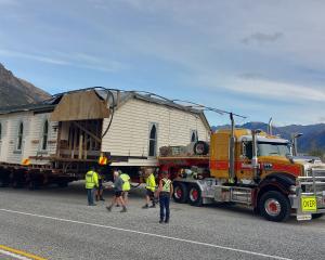
Downer said the Milford Road (State Highway 94) would close overnight at 4pm from Hollyford road junction to the chasm. Snow was forecast down to 700m.
The road was likely to reopen by 10am on Wednesday, but more snow showers were likely with a further 1cm to 2cm expected to settle above 500m.
Late on Tuesday night, the New Zealand Transport Agency issued snow warnings for alpine roads the Lewis Pass (State Highway 7) and Arthur's Pass (State Highway 73).
Snow showers may affect higher parts of the Lewis Pass, with 1cm to 2cm of snow settling near the summit from 9pm until midnight.
They could also affect higher parts of Arthur's Pass early on Wednesday morning. Between 1am and 7am, 1cm to 2cm of snow may settle near the summit.
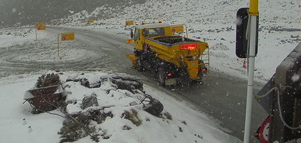
Earlier, the Queenstown Lakes District Council said the car got stuck near the summit lookout and caused further delays to traffic. It advised road users to use the Kawarau Gorge.
The council tweeted just after 2.30pm that it was snowing heavily on the Crown Range Rd and chains needed to be used.
A few light snow showers may affect the road on Wednesday above 500m.
Snow warnings for the Lindis Pass (State Highway 8), Porters Pass (State Highway 73) and Dunedin's Northern Motorway (State Highway 1) were cancelled late on Tuesday night, NZTA advised.
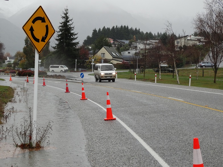
Flooding in Otago, Southland
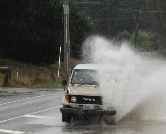
The rain also has caused surface flooding in parts of Wanaka. An estimated 21mm of rain has fallen since 6am today and by early afternoon showed no sign of stopping.
The flooding warnings come as a belt of wild weather was set to bring heavy rain, gale-force winds, thunderstorms and snow to parts of the country.
MetService said a "disturbed weather pattern" was over the country this week.
A cold front was making its way on to the bottom of the South Island this morning, bringing heavy rain and strong winds.
The heaviest rain was expected in Fiordland, Westland south of Otira, and the headwaters of the Otago and Canterbury lakes and rivers, where 100mm-150mm could fall.
Over the South tomorrow there was a moderate risk of thunderstorms about Fiordland and Southland before dawn. These could bring brief heavy rain, hail and snow to 400m-500m.
A very unstable west to southwest flow would cover northern and central New Zealand tomorrow, bringing more heavy showers, thunderstorms and hail.
More snow showers were likely on Wednesday with a further 1cm to 2cm of snow expected to settle above 500m.