This morning, temperatures rose slightly from yesterday, which for many was the coldest of the year.
In Auckland, some spots dropped to -1C on Friday, but thanks to a blanket of cloud, this morning only got as low as 9C in the city.
Elsewhere, the coldest populated area this morning was Cromwell on -2C. This was significantly warmer than yesterday, when St Arnaud dropped to -7.7C and Pukaki -7.6C.
MetService meteorologist Alwyn Bakker said at the moment a ridge of high pressure was hovering over most of the country, meaning relatively fine weather for most.
This would be replaced by a warmer northerly flow by tomorrow, that would bring rain to western areas. The South Island's West Coast will be hardest hit.
A front is expected to move onto the lower South Island today, and become slow moving tomorrow as a low develops over the Tasman Sea.
The front is expected to bring heavy rain to southern Westland and northern Fiordland, where warnings have been issued to Sunday evening, with heavy snow about the Alps.
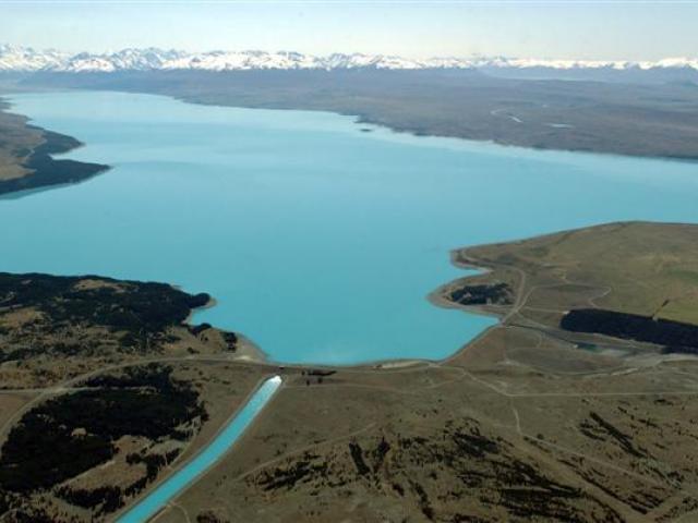
A heavy rain watch is also in place for the headwaters of the Canterbury and Otago Lakes and rivers south of the Rakaia through to 4pm tomorrow.
The northerly flow will affect most places as it moves slowly east across the country tomorrow and Monday.
The south of the South Island may get heavy rain on Monday, affecting Fiordland, Southland and the south of Otago.
A strong southwesterly flow is expected to affect the country on Tuesday and Wednesday.