Central Otago District Council (CODC) approached Horticulture New Zealand last year for the information, because IT thought the data and maps would be of value for the region.
HortNZ's South Island environmental policy adviser Rachel McClung said the map and accompanying report would provide evidence-based information for the CODC for use for its review of its district plan, and would also be of use to growers.
''The council is really keen to work with us on this,'' she said.
She said HortNZ commissioned Dave Lucock, of the Agribusiness Group, Christchurch, to carry out the project and he had been collecting the relevant data for the past few months.
Mr Lucock was mapping most of the district including Cromwell, but not Wanaka or Queenstown.
''At the moment he is working through the mapping, and creating a methodology,'' Miss McClung said.
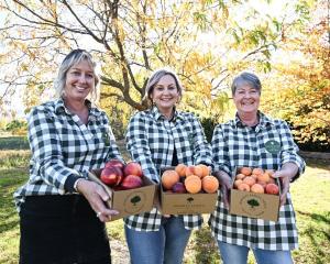
The map and report would identify land currently used for horticultural, as well as areas where there was potential for horticultural growth.
It would include information such as growing-degree days, soil types and frosts, access or lack of access to water, as well as further data from Niwa.
The map and accompanying report would be released in November.
A workshop was held yesterday in Cromwell to share information collected to date with growers.
-By Yvonne O'Hara