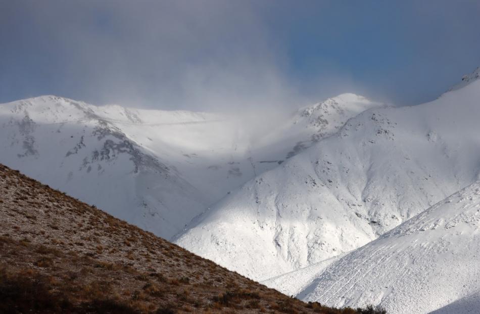
An orange heavy snow warning has been issued for parts of the lower South Island as a cold front sweeps across the country.
Castle Hill residents were cut off after a night of heavy snowfall.
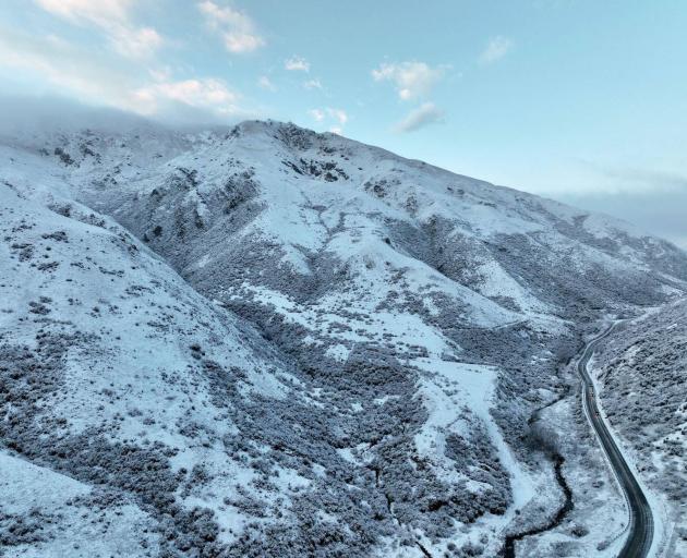
Waka Kotahi closed State Highway 73 from Springfield to Arthurs Pass, due to snow. The road was fully reopened at about 9.30am.
Caution is urged on SH65 Maruia to Springs Junction due to flooding across the highway.
A heavy rain watch is currently in place for Westland, Buller and the Nelson lakes until midnight.
Icy roads also caused several trucks to become stuck on the Lindis Pass (SH8) earlier today.
About six trucks became stuck around the summit about 2.15am due to the weather, including one truck which jack-knifed.
Sergeant Tony Woodbridge, of Oamaru, said police from Cromwell, Kurow, and Oamaru had attended.
''One [truck] they've tried to get out and with the skidding, they've jackknifed,'' Woodbridge said.
There were no injuries to report, he said.
And at 10am, Metservice released a number of additional weather warnings in the south.
An orange heavy snow warning for Fiordland will come into force from 9pm tonight until 6pm on Saturday.
The forecaster is warning of periods of heavy snow above 400 metres, though snow may reach sea level at times, especially in the south of the region.
"Heavy snow may disrupt travel in affected areas and could damage trees and powerlines," it said.
A heavy snow watch is in place for Clutha, Southland and the Queenstown Lakes District south of Alexandra to Arrowtown from 3am-3pm on Saturday.
A watch has also been issued for Central Otago, Queenstown north of Alexandra and the Canterbury High Country from 9am-6pm on Saturday.
There is also a chance of severe thunderstorms in Nelson, Buller, Westland and Marlborough with a watch in place from 3pm today.
An orange strong wind warning comes into force for the Marlborough Sounds from 9pm.
Road snowfall warnings are in place for the Arthur's, Porters and Haast passes as well as the Milford Rd.
More road snowfall warnings will come into affect this evening.
Communications meteorologist Lewis Ferris said the South Island isn't out of the woods with this weather event yet, and there's potential for more snow on the alpine passes.
He said if anyone's planning to travel, they need to stay up to date with the forecast.
Much of the country is on a weather watch with 26 weather warnings in place across New Zealand.
Forecaster weatherwatch.co.nz says an active cold front is moving into the western side of New Zealand today.
It has reported large hail has fallen on the West Coast with a damaging shower producing hail larger than grapes.