The NZ Transport Agency applied for government funding to install road safety improvements between Hampden and Palmerston - a stretch of highway where 11 fatal crashes have happened in the past 10 years.
A document, seen by the Otago Daily Times, said the project would include widening the road centre line, adding roadside barriers at high-risk locations and upgrading signs and general road markings.
The document, dated last October, said implementation of the project was planned for 2021 and 2022 and was estimated to cost $30.9 million in total.
The plan had been part of a bigger proposal that originally would have covered Oamaru to Dunedin, but that was put on hold in 2019.

Some improvements were made to a key section of the road in 2017.
Moeraki Boulders Rd, which leads to the Moeraki Boulders tourist attraction and has a poor safety record, had active warning signs installed.
The document said the change appeared to be making a difference to safety, but it was too early to provide "statistical proof".
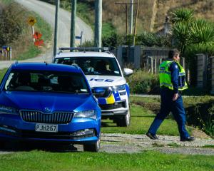
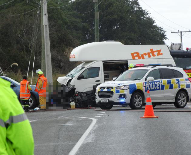
The 22.4km stretch of State Highway 1 had been the scene of 11 fatal crashes in the past 10 years, including two major crashes last year.
Auckland man Tane Roderick (42) died following a collision between a camper van, car and motorcycle at the turnoff to Moeraki on February 6, 2020.
Christchurch man 71-year-old Raymond Brent Gordon (known as Brent Gordon) died after a crash at Hillgrove, near Moeraki, on December 18, 2020.
The document said the section of the highway was "undulating and winding throughout with vertical crests often marked with no-passing lines".
Curves in the road with poor passing sight were also not consistently marked with no-passing lines.
Along the coastline there were some locations where the edge of the road dropped away down to the beach, particularly around the Shag Point end, it said.
"The drop-off is approximately 8m to the beach below."
At least one safety barrier was known to flip vehicles that crashed into it.
That occurred in 2011, when a southbound truck was involved in a head-on crash and got "ramped" by the barrier, causing it to crash into the water below.
There was also no alternative route if a crash closed the 6km section of the highway from Hampden to the Horse Range Rd intersection, which meant that serious crashes could cause major network disruption, the document said.
"As this is the only viable route connecting Otago and Southland with other northern coastal towns and cities, any road closures can have a large knock-on effect."
NZTA is asking for tenders for a consultant to assess the plan before it is given final approval.