A MetService spokesman said a front was expected to approach the South Island tomorrow morning, then move northeast in the afternoon through to Thursday morning.
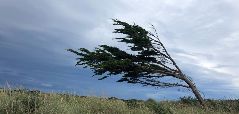
‘‘Strong to gale north-westerlies precede this front and a watch is now in force for the Canterbury High Country, Clutha, Southland and the Fiordland lakes.
‘‘People are advised to stay up to date with the latest forecasts in case part of this watch is upgraded to a warning or further areas are added.’’
He said northwest winds may approach severe gales and gust to more than 100kmh between 4am and 11am on Wednesday, in Southland, Clutha and Fiordland, between 4am and 11am.
There are also road snowfall warnings for the Crown Range Rd and the Lindis Pass (State Highway 8).
A brief period of snow was expected about the Crown Range Road on Wednesday evening. From 8pm to midnight, 1cm or less may accumulate about the summit of the road.
About 1cm to 2cm of snow may also accumulate about the summit of the Lindis Pass from 9pm Wednesday to 1am Thursday, he said.


