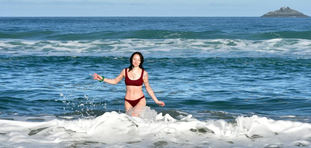
MetService is forecasting temperatures to reach 18°C today over much of Otago, but a front moving up the South Island is expected to bring cool southerlies and rain.
Meteorologist Mmathapelo Makgabutlane said the weather system would be followed by a change to a southwest flow, which would keep temperatures cooler for the remainder of this week.
"Things look to remain fine and dry heading into Tuesday for most.
"However, for the western and lower South Island, the next weather system brings cloudy weather on Tuesday, with rain not far behind.
"For Fiordland and the ranges of southern Westland, some of that rain could be briefly heavy, and severe weather watches have been issued for Tuesday and Wednesday."
She said the weather system would extend to the eastern reaches of the South Island tomorrow, and quickly make its way to the North Island in the afternoon and into Thursday.
"This system moves through quickly, and by the end of Thursday most of the country should be in the clear, apart from the occasional shower for southern and western coastal areas."
While the weather system was set to take the rain with it when it left, cooler temperatures would remain.
"The switch to a chilly southwesterly flow will be the most noticeable thing this week, once the rain clouds have cleared.
"Thursday morning may see inland parts of the South Island waking up to frost, while daytime temperatures will feel cooler all round during the second half of the week", she said.