Canterbury alpine passes and regions in the lower South Island are in for a dusting of snow.
The hills around Central Otago, much of Southland and higher roads in Canterbury are set to be affected, with snow falling as low as 500m from this afternoon.
MetService meteorologist Thapi Makgabutlane said the snow would cause temperatures to plummet overnight and on Thursday, creating a slew of road snowfall warnings.
"Those snow flurries are possible from the second half of Wednesday and will move through fairly quickly as the cold front moves across, mostly clearing by the end of the day.
"Temperatures take quite a dip, and Thursday morning looks particularly cold over Otago, while daytime temperatures will barely go into double digits."
The New Zealand Transport Agency/Waka Kotahi advised at 10am today there would be periods of fog, rain, snow and ice on alpine highways over the next 24 hours.
It'll be chilly in the Queenstown Lakes District area too. The Crown Range Road, linking Wānaka and Queenstown, may also get snow flurries late this afternoon, but little was expected to settle on the road at this stage.
However, larger amounts have been forecast for Canterbury from 3pm today, and NZTA advised drivers to be ready for snow and icy conditions in on high country and alpine passes.
“MetService is warning of the possibility of snow at road level on SH73 at Arthur’s and Porters Passes and SH7 the Lewis Pass,” said Tresca Forrester, Journey Manager for NZTA in Canterbury and West Coast.
State Highway 8 through Burkes Pass and the Tekapo to Twizel scenic route may also catch some snow and ice, she said.
“Even if snow doesn’t settle on the road, it will be wet, and with temperatures dropping overnight we are expecting ice early Thursday morning, especially in shaded areas and on bridge decks."
Snow warnings
ARTHUR'S PASS (SH73)
From 7pm today until 3am tomorrow: 2cm may accumulate above 800 metres, with lesser amounts down to 600 metres.
PORTERS PASS (SH73)
From 7pm today until 3am tomorrow: Up to 5cm of snow could fall above 800 metres, with lesser amounts down to 500 metres.
LEWIS PASS (SH7)
From 10pm today until 3am tomorrow: A period of light snow possible. 1 to 2cm of snow may settle on the road above 700 metres, with lesser amounts down to 500 metres.
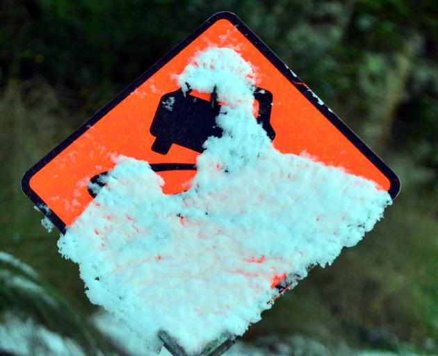
CROWN RANGE
From 3pm to 6pm today: Snow flurries above 700 metres, but little if any snow expected to settle.
How to drive in icy conditions
• Drive slower than normal
• Avoid sudden braking or turning movements that can cause you to skid
• Use your highest gear when travelling uphill and your lowest downhill
• Double the two second following rule at least – it takes longer to stop on ice
• If it is foggy, drive with your lights dipped
• Plan your trip to avoid the coldest times of the day or night if you can.
- ODT Online