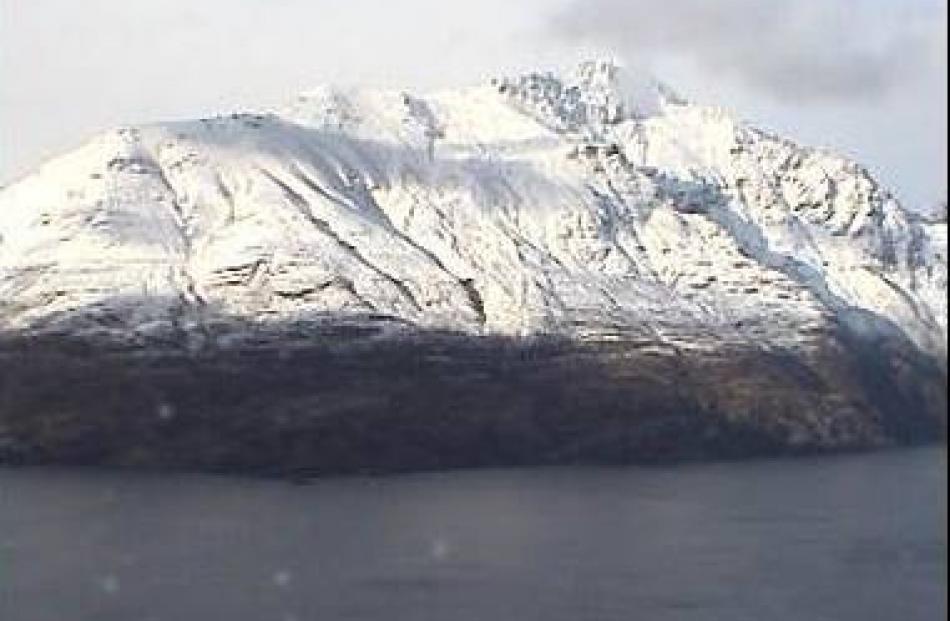
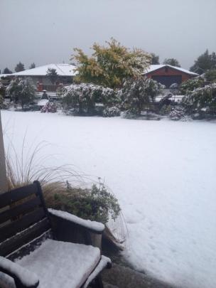
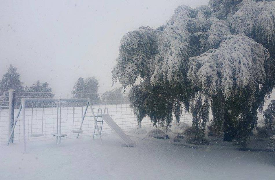
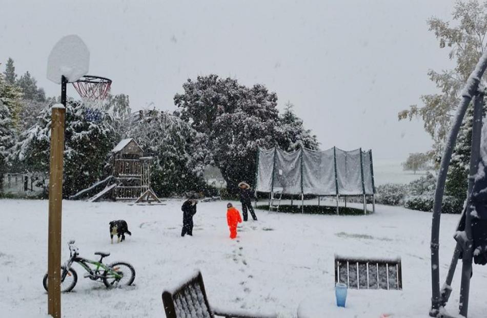
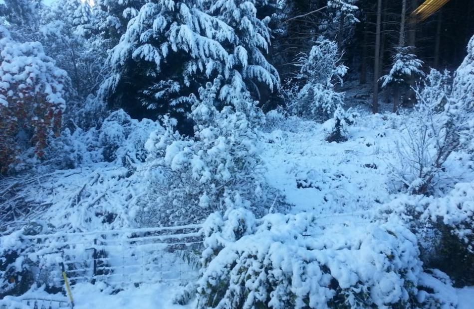
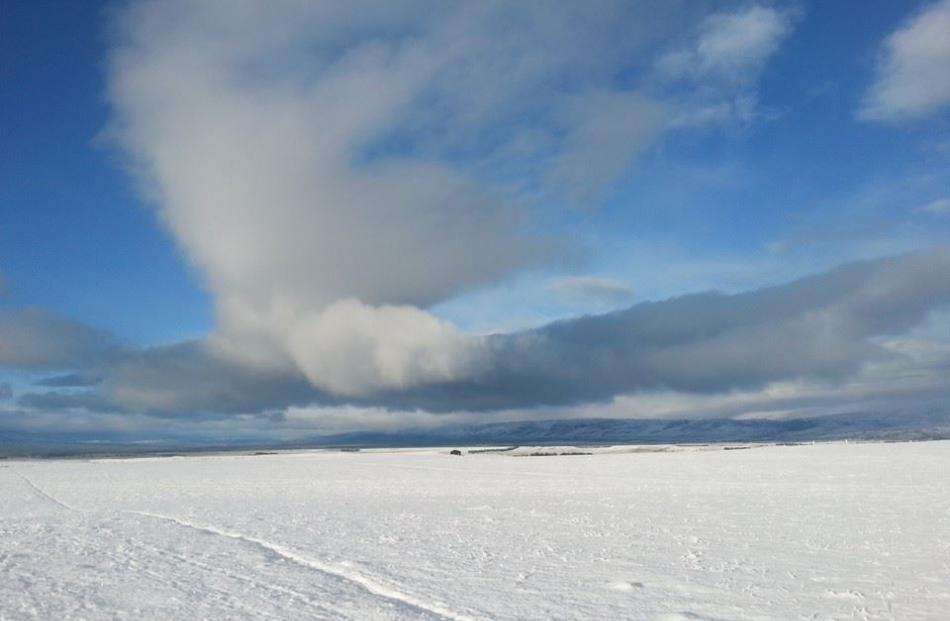
Parts of the South Island have been blanketed in snow today as a cold snap makes its way up the country.
Snow and ice is affecting some of the region's roads including Dunedin's Three Mile Hill Rd which was closed about 3.30pm. SH94, Te Anau-Milford is also closed overnight.
State Highway 6, Kingston-Dipton was closed but has since reopened and NZTA has cautions in place for it and several other roads: SH1, Milton-McNab; SH8, Milton-Raes Junction; SH87, Outram-Kyeburn; SH94 Mossburn-Te Anau and Lumsden-Mossburn.
- Check road conditions here
Queenstown Lakes District Council is advising motorists to use caution and drive to the conditions, as snow is falling in many places across the district.
Snowploughs and grit trucks are being sent to clear roads in the Dalefield area.
The Crown Range road - the mountain pass road between Queenstown and Wanaka - was open at midday but affected by snow and ice.
Drivers are being told to carry chains, or to use State Highway 6 through the Kawarau Gorge.
Flights are operating as normal at Dunedin Airport but Queenstown is experiencing many delays and cancellations.
- Check Queenstown flights here
This afternoon, MetService meteorologist John Law said the weather was "going to plan".
The main emphasis continued to be on southern parts of the country, Mr Law said.
"Looking through some of the temperatures, it's 4C down towards Dunedin at the moment. It's really not very nice."
For those down south, the snow was likely to carry through into tomorrow morning, with a cold start predicted for Southland and Otago, Mr Law said.
"As we go through Tuesday the showers become less and less frequent, and we will find things start to dry up down there. But it will still be quite cold."
A severe weather warning remained in place, and snow showers were expected to low levels through to Tuesday morning.
Mr Law said 10cm to 15cm of snow was likely to accumulate above 300m, and 15cm to 25cm of snow would settle above 600m in Southland, Fiordland and Otago.
He said about 5cm of wet snow could also settle as low as 100m to 200m.
The weather would not be as bad for those in the North Island, although temperatures would get a lot cooler overnight and into tomorrow, Mr Law said.
"We'll find as we get into the evening time those showers will push up towards us, and we will have those southerlies come across us."
Mr Law said at Wellington Airport it was currently 11C, while on the other side of the Cook Strait southerly winds were making for temperatures of around 9C.
"It's going to be tomorrow that's the cold one for us and there is that chance of a rumble of thunder further north."
He said places such as Taupo and Waiouru were in "classic spots" and were likely to get really cold.
"They are going to be feeling quite cool tomorrow, even up towards up towards Auckland, the top temperature tomorrow is up around 16C.
"[Last] Friday we got to about 25C in Auckland so it is a real contrast."
There was a road snowfall warning out for high parts of the Desert Rd, where around 2cm to 3cm of snowfall was expected tonight and tomorrow morning.
Mr Law said while the early snow was unusual, it was not unheard of.
"It's not unprecedented, but it's unusual. Last year we got our first lot of snow around May."
Meanwhile, the New Zealand Transport Agency has urged drivers to slow down, allow extra travel time and carry chains, as snow and ice affected several inland Otago and Southland highways.
The agency said it expected higher inland highway routes in Otago to bear the brunt of the of the bad weather through to tomorrow.
State Highway 6, from Dipton to Garston on the main highway linking Invercargill and Queenstown, was the worst affected by the weather.
Drivers were being advised to carry chains for the higher areas on the route, especially around the Jollies Hill.
Towing restrictions that were in place on SH94, along the Gorge Hill area between Mossburn and Te Anau, have now been lifted, the agency said.
Road users were advised to closely monitor highway conditions and prepare for their journey to ensure they knew which areas were affected as the bad weather continued to batter Southland and Otago over the next day or two.
Further north, one person was extracted from their car and four others were injured after a vehicle hit a bridge barrier in Whitford, in east Auckland, earlier today.
This led police to warn motorists to take extra caution in the wet weather.
Emergency services were called to the scene of the crash at Whitford-Maraetai Rd after the crash about 1pm.
Five people were injured in the crash. Police said their injuries ranged from "serious to less serious".
"It is raining currently and police advise all motorists to exercise extreme caution on our roads," police said.
"The roads after long fine periods are slippery."
Fire communications shift manager Scott Osmond said fire crews managed to extricate the trapped person fairly quickly.
- additional reporting David Williams


