He showed, in the first place, what the harbour can become, and, in the second place, how revenue may be secured to bring about improvements to meet extending trade.
It was safe to postulate, he said, that the port of Dunedin must be prepared to accommodate the largest vessels afloat to-day, with a reasonable margin for increases in length and draft of vessels.
It had been demonstrated by eminent marine architects that vessels up to 1000ft in length could be economically constructed, and that the size of the largest vessels of the future would be regulated by the capacity of their trading ports.
Many port authorities, in recognition of this contingency, were deepening their waterways and constructing berths 1000ft long to take vessels of this class.
The Panama Canal was constructed to allow the passage of vessels up to 1000ft long and 40ft draft.
The Dominions Royal Commission, which visited New Zealand in 1913, took evidence as to the prospects of the principal ports of this dominion being made equal to these requirements of depth and berthage.
One was able to assure the commission that there would be no difficulty in obtaining and maintaining a depth of 40ft at Port Chalmers when it was wanted, and that when these big ships came along the people of Dunedin would see to it that this port would be capable of berthing them.
In speaking of the port of Dunedin, it should be remembered that the appellation applied to the whole harbour, and included Port Chalmers, the present terminus for heavy draft vessels.
It was the policy of the Harbour Board to develop the whole harbour in such a manner as would serve the best interests of the people of the harbour district.
With that end in view, the lower harbour channel, from the Heads to Port Chalmers, was being continually deepened and improved for the passage of the largest class of vessel trading to the dominion.
Next in importance was the Upper Harbour improvement works, consisting of the enlargement of Victoria Channel, deep water basin, and berthage at Dunedin for the reception of the ordinary-sized ocean carriers, which, by proceeding to Dunedin, could land their cargoes in proximity to the city warehouses.
The minimum depths to-day in the lower harbour were: Entrance channel Taiaroa Heads, 40ft at low water; channel south off Harrington Point, 32ft at low water; Deborah Bay, 26ft at low water.
The low water depth of the Lower Harbour channel throughout the greater part of its course exceeded 40ft.
• Travellers by road and rail to Fairlie during the past summer often admired a field of about 10 acres of potatoes alongside the main road at Cave township (says the Timaru Herald).
The crop was remarkably even, and was said by some people to be the best in South Canterbury this year.
The land, though light, had never been broken up before, and before the Levels Estate was cut up it had been a sheep camp for many years, being the paddock attached to the Levels woolshed at the Cave.
The crop has just been lifted, and it yielded 10 tons to the acre, which, considering the dry season, must be accounted very good.
Only one variety, Up-to-dates, was sown, and the potatoes have come out quite sound and free from blight. - ODT, 19.5.1915.
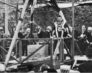
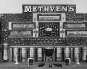
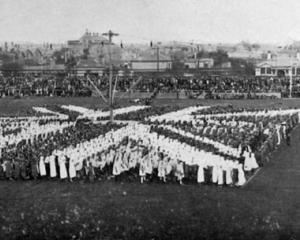
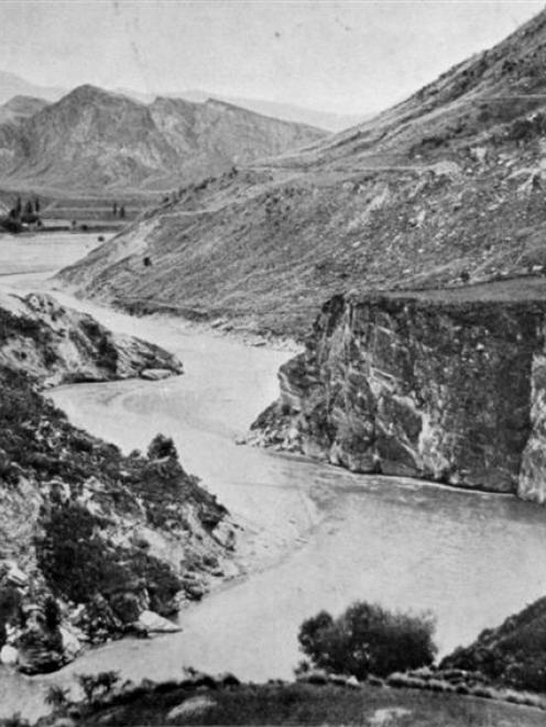
• COPIES OF PICTURE AVAILABLE FROM ODT FRONT OFFICE, LOWER STUART ST, OR WWW.OTAGOIMAGES.CO.NZ