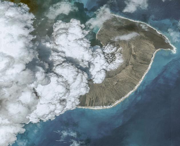
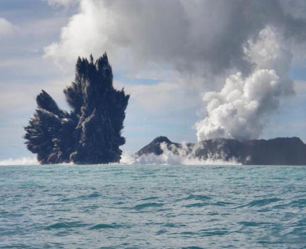
In a survey by GeoNet, which operates the national hazard monitoring system, researchers are asking for observations of the sea and coastal areas as well as any “booming” sounds heard around the time of the eruption on January 15.
GeoNet said the information received from the survey results can help improve tsunami forecasts and can assist in education about tsunamis generally.
Banks Peninsula is particularly vulnerable to tsunamis from across the Pacific Ocean because of the Chatham Rise, a large underwater plateau extending 1400km east of the peninsula.
More than 1500 properties across Banks Peninsula, including those surrounding Lyttelton Harbour, are considered under threat from flooding in a tsunami.
Recent tsunami events, like that triggered by the 2016 Kaikōura earthquake, have highlighted the importance of education and planning for such occurrences.
GeoNet reported that the tsunami waves caused by the Kaikōura earthquake would have been almost unnoticeable as they silently travelled south through the open waters off the North Canterbury coast.
Once the waves reached Banks Peninsula, 90 minutes after the earthquake, Little Pigeon Bay was hit by tsunami surges at the head of the bay that were bigger and more forceful than those seen in other northern Banks Peninsula bays, and caused damage to a 100-year-old cottage.
Following this, tsunami evacuation zones for Canterbury were updated in 2020.
On most of Banks Peninsula, there are two tsunami evacuation zones – a red zone and an orange zone. In Birdlings Flat there are three – red, orange and yellow.
The red zone is most likely to be affected by a tsunami.
It includes estuaries, rivers, beaches and harbours, where a tsunami of any size could cause strong currents and surges in the water.
The orange zone covers areas on land that could be flooded in the event of a large tsunami.
The data collected for the GeoNet survey could be used in the New Zealand historical tsunami database in a write-up about these events.
• Did you notice anything in your area? You can complete the survey here.


