
Heavy rain is falling again in parts of the South Island still sodden from a drenching at the weekend.
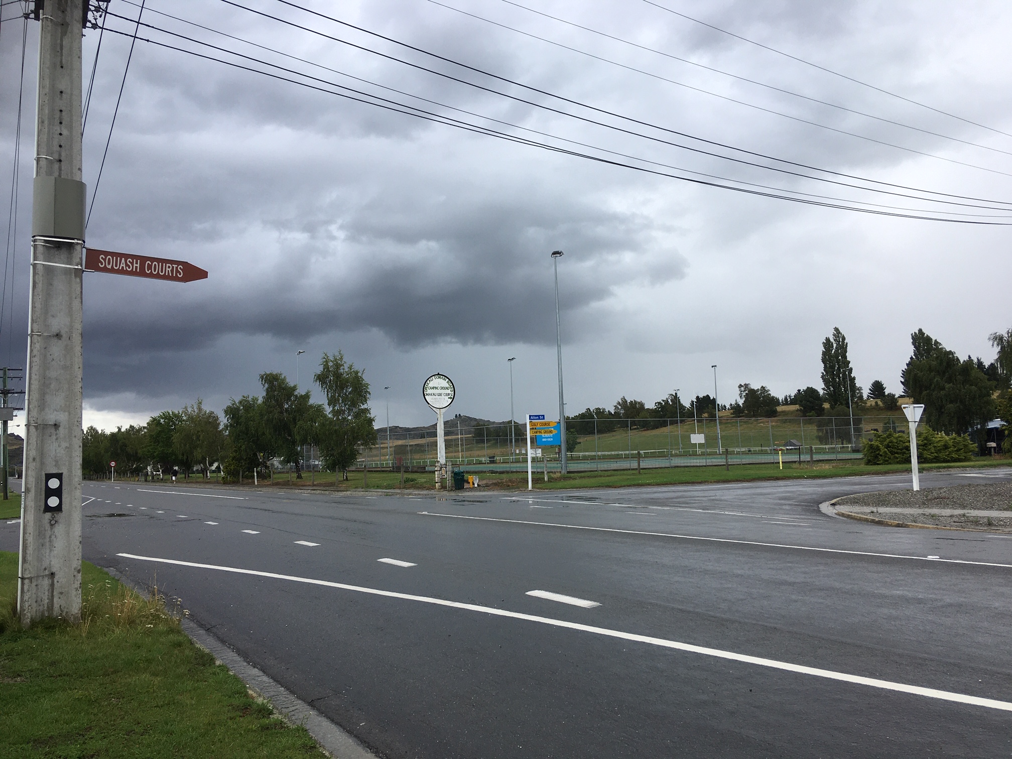
Reports were coming in of heavy rain around Omakau in Central Otago around 5.15pm yesterday. Rain was also reported in Queenstown, Cromwell, Otematata, Middlemarch and Taieri Mouth.
The Otago Regional Council earlier warned that expected high-intensity rain was forecast, and it could cause flash and surface flooding, and rising rivers.

A heavy rain watch is in place for Central Otago, North Otago, inland Dunedin and the Clutha from midday to midnight tonight. A severe thunderstorm watch was also in place for some areas.
The ORC said this was likely to affect river flows in the Manuherekia, Upper Taieri, and Pomahaka catchments, as well as rivers in the North Otago area.
The level of impact would depend on the location and intensity of downpours; however, there could be surface flooding and rapid and sudden rise of water levels in streams and rivers, resulting in water overtopping river banks, it said.
"Where there are steep and narrow catchments and alluvial fans, for example in and around Roxburgh and Middlemarch, localised severe downpours could trigger the mobilisation of sediments and debris. This can cause blockages that cause streams to break out of their existing channels.
"Rainfall amounts and intensities for these areas will be closely monitored by ORC’s duty flood team. ORC contractors remain available to respond to this event."
MetService said more rain could be expected today for inland Canterbury, south of Fairlie, as well as Central Otago, North Otago, inland Dunedin, Clutha and also Southland, north of Gore.
"Rainfall rates of this intensity will cause surface and/or flash flooding, especially about the hills and ranges and other areas affected by the recent flooding, and could also cause problems for people travelling through these regions."
Driving conditions will also be hazardous with surface flooding and poor visibility in heavy rain.
- By John Lewis and ODT Online


