PHOTO
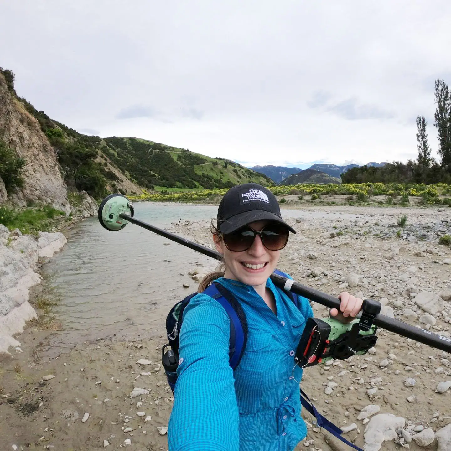
After witnessing the ground shift during the 2011 Christchurch earthquake, researcher Erin McEwan set out to help landowners and councils better understand how quakes affect rivers and flood risks.
The 35-year-old geologist recently completed her PhD at Canterbury University and has created the world’s first database showing how earthquakes have affected rivers and flood protection strategies in the past.
“We can’t stop earthquakes or floods, but we can help people be ready for them,” said McEwan.
“My goal is to get this into the hands of councils and planners so they can run their own ‘what if’ scenarios and make smart decisions for their communities.”
McEwan remembers when she first witnessed the power of earthquakes to move land, silt and water on February 22, 2011, when she worked in a quite different profession.
“I was a video game artist at a little indie studio on Hereford St. We were on the second floor when the earthquake hit and it was so violent we just fell off our chairs.”
She remembers leaving the city centre on foot and seeing large pools of liquefaction flowing out of the ground.
“Part of my drive with my research is remembering how unprepared I felt during the quake. I’d like to help mitigate that feeling for people. If you can’t stop an earthquake, at least being prepared offers some sense of security,” she said.
McEwan lost her job two months after the earthquake. She ended up working for IAG, handling earthquake damage insurance claims.
“It all made me realise I didn’t know much about earthquakes. All I knew was to expect shaking, but not how violent the shaking, or all the other impacts that happened, like liquefaction and the change in flood hazard across the city,” she said.
McEwan was spurred to start an undergraduate geology degree in 2017 and ended up staying for eight-and-half years, becoming a PhD student.
McEwan and her team studied 52 earthquakes around the world where rivers were affected by fault ruptures.
They combined this global data with New Zealand’s fault maps and existing flood modelling techniques to test future scenarios.
She hopes the work will help emergency planners and councils better prepare for future disasters and mitigate flood risk.
“In New Zealand, where we have thousands of rivers and lots of active fault lines, it’s inevitable that they will intersect and interact,” she said.
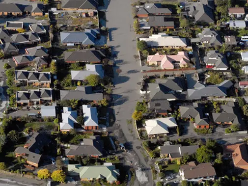
Earthquake-related flooding could affect 3700 rivers if the fault lines beneath them rupture.
McEwan’s research shows earthquakes can cause rivers to shift, flood, or get blocked entirely, sometimes creating permanent dams and lakes.
This can lead to serious flooding not just during an earthquake but for months or years afterwards.
McEwan’s work was supported by a Natural Hazards Commission research grant awarded to her PhD supervisor, Dr Timothy Stahl, to study earthquake-related hazards.