
The wintry blast began yesterday and affected passes in the northern part of the South Island, as well as the Desert Road and National Park in the North Island.
The NZ Transport Agency advised about 3.30pm on Monday that the Porters Pass/Arthur’s Pass route on State Highway 73 linking Canterbury and the West Coast, and the Lewis Pass route (SH7) linking Canterbury to Nelson and the West Coast have reopened.
SH8 between Lake Pukaki past Lake Tekapo to Burkes Pass reopened earlier today.
“Thanks to everyone for their patience while we got these key roads safely reopened after the snow storm yesterday,” Tresca Forrester, Journey Manager for Waka Kotahi NZ Transport Agency, said.
“Our crews have been working hard to remove trapped vehicles and get the roads graded back to two lanes.”
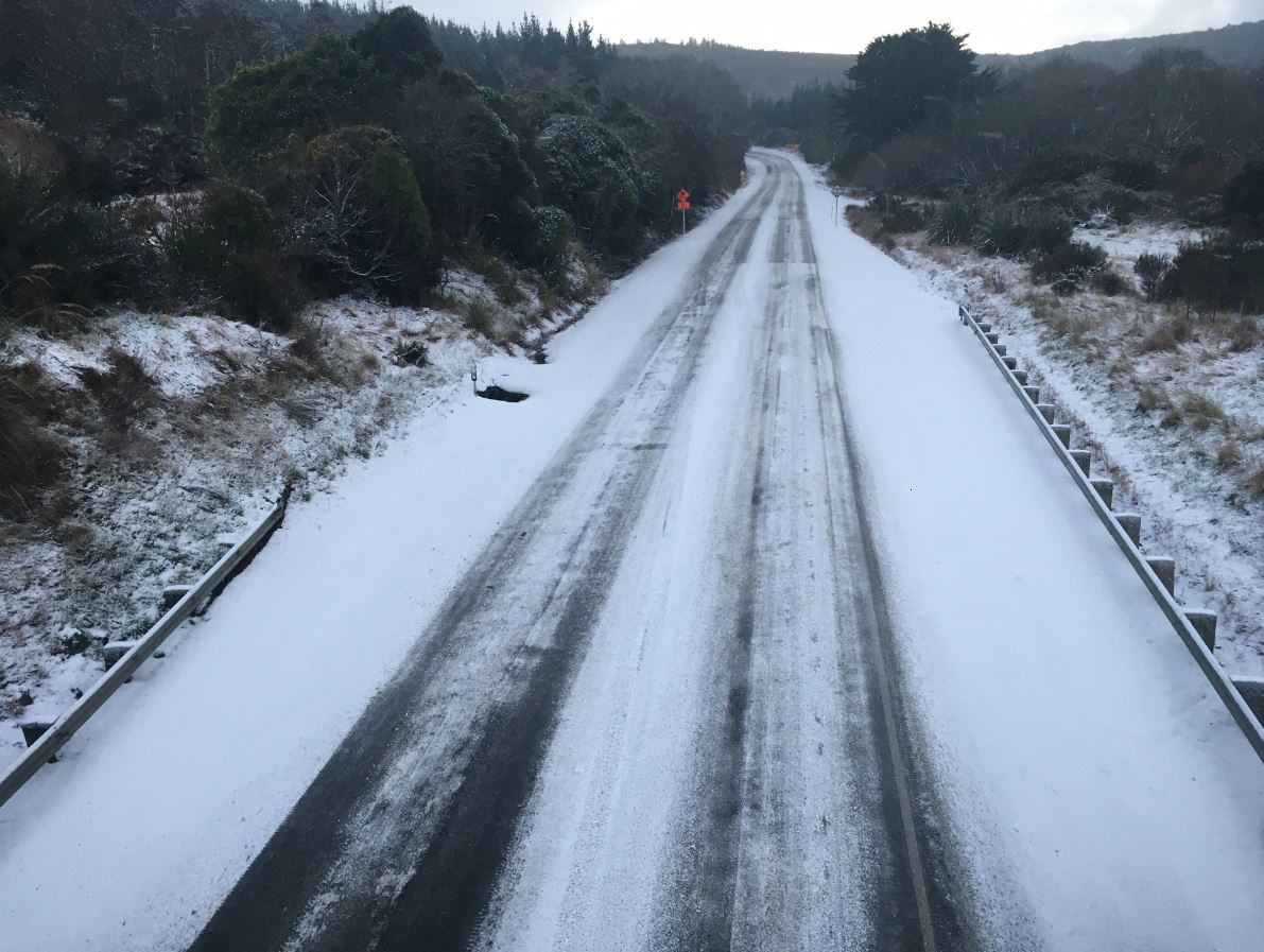
There would be ice on highways in coming days and road users need to look out for this in shaded places and bridge decks, she said.
MetService yesterday issued a warning for the Dunedin to Waitati Highway last night, saying snow showers were expected to leave 1cm-2cm of snow near the summit and lesser amounts down to 300m, up until 11am today.
NZTA this morning advised of the closure, which led to traffic backing up at Pine Hill and Waitati, but around 9.25am they advised that the road had reopened.
Just before 8am an Otago Daily Times photographer said there were half a dozen trucks parked at the top of the motorway, and conditions were very icy.
 There are also reports of minor accidents in some places around the city. Three Mile Hill road was also closed this morning and snow was reported as lying in some Dunedin hill suburbs.
The wintry conditions have meant a late start for some city schools, including St Hilda's Collegiate, Wakari School, Halfway Bush School, Dunedin North Intermediate, Waikouaiti School and Brockville School.
MetService said a few light snow showers may also affect the Crown Range Road between Queenstown and Wanaka this morning, and the Milford Road (State Highway 94) above 400m for a time this afternoon.
The wintry blast has hit harder further north, closing roads in the North Island, including the Desert Road (SH2), and SH4 through National Park.
The NZ Transport Agency said drivers would need to detour via Napier or New Plymouth, adding an extra four to five travel time.
A wind warning is also in place with gales affecting flights and ferry crossings in Wellington.
Ferry crossings are cancelled this morning and passengers flying in or out of Wellington should check the airport's website.
Gale southerlies and snow showers to 200-300m in southern and eastern areas of the North Island would gradually ease later today, MetService said.
COLD SNAP IN SOUTH
Snow dusted the hill suburbs of Christchurch and Dunedin this afternoon, and many inland Otago and Southland areas received a few centimetres.
Particularly heavy snow fell around Twizel and Omarama where temperatures dropped to -5degC and reached a high of just 3degC.
 However, the brunt of the rapidly deepening low moved east across central New Zealand, bringing heavy snow to low levels and severe gale southerlies to northern Canterbury and southern Marlborough, and central and southern parts of the North Island.
A MetService spokeswoman said it was likely to disrupt travel, damage trees and powerlines, and cause stress to livestock.
New Zealand Mountain Safety Council chief executive Mike Daisley said the significant amounts of new snow for many eastern alpine regions in the South Island and for the central North Island had prompted the organisation to raise the official avalanche danger ratings to "high" for Aoraki/Mt Cook, Two Thumbs, Craigieburn, Nelson Lakes and Tongariro.
It had also been raised to "considerable" danger at Arthur’s Pass, Mt Hutt, Taranaki and Ohau.
"The first fine, clear day following this system is likely to produce numerous loose wet avalanches as the snow warms up from being exposed to the sun.
"The 24-48 hour period after a storm like this one is the most dangerous, and while the temptation is to rush out and get the fresh powder, it’s really the time for patience and a cautious approach," he said.
The MetService spokeswoman said cold southwesterlies were expected to ease tomorrow as a ridge of high pressure built over New Zealand from the Tasman Sea.
However, there remained a possibility of severe gale southwesterlies around coastal Hawke’s Bay and Gisborne, and possible heavy snow about Taihape early tomorrow morning.
"Another front should move on to the South Island on Thursday, bringing moderate confidence of warning amounts of rain to Fiordland, central and southern Westland (mainly about the ranges), while there is low confidence about northern Westland and Buller as the front moves northwards late Thursday into Friday.
"Additionally, there is low confidence of northwest gales becoming severe through parts of Fiordland, Southland, Otago and the Canterbury high country on Thursday."
Stranded motorists
As the southerly blast hit the high country last night, motorists were stranded in and around Arthur's Pass and some were taken in by locals.
Nick Menary, a ranger at with the Department of Conservation, said drivers who got stuck on the roads were put up overnight by civil defence at at Castle Hill, while others stayed at Flock Hill station and Arthur's Pass.
"I think a lot of people were moving on the road yesterday and I think a lot of them didn't have chains," he said.
"We've basically got a full town and we've opened up our civil defence community centre for some of these stranded people.
"A lot of people opened up their homes in town because the paid accommodation filled up pretty quickly."
The skies cleared this morning and there was about 15cm of snow on the ground, he said.
"This is the first decent snowfall we've had in a couple of winters so actually we're kind of delighted really."
Waka Kotahi spokesperson Tresca Forrester said the weather is due to clear in the South, and passes will be reassessed around midday, but conditions will be treacherous even if the passes are open.
"The roads are going to remain icy for the next couple of days," Forrester said.
Aaron Cormack, assistant operations manager with Hanmer Springs Attractions, said snowfall stopped late last night after and leaving snow 19cm deep in his front yard. He said roads around the inland Canterbury town were icy or slushy and graders had been out.
A farmer inland from Seddon, in Marlborough, said his property was spared snow but there was surface flooding as rain ran off ground already sodden from recent flooding. Warwick Lissaman said the heavy rain caused minor slipping on his farm.
A snow warning is in place for eastern parts of the country including Canterbury, Wellington and Hawke's Bay.
A wind warning is also in place with gales affecting flights and ferry crossings in Wellington.
Ferry crossings are cancelled this morning and passengers flying in or out of Wellington should check the airport's website.
Gale southerlies and snow showers to 200-300m in southern and eastern areas of the North Island would gradually ease later today, MetService said.
MetService meteorologist Bill Singh said some parts of Southland and eastern areas north of Rakaia would get light snow showers this morning.
- John.lewis@odt.co.nz, Star News and RNZ


