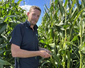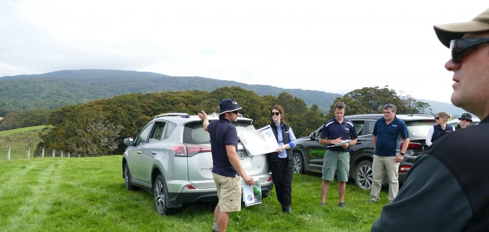
''Because of our terrain, sediment loss is a big issue for us,'' Pourakino Valley farmer Geordie Eade said.
''After reviewing maps of our farm, we immediately changed our cattle wintering regime on high sediment load areas.''
Mr Eade was speaking at a Pourakino Valley Catchment Group field day on Monday which look at the use of Ballance Agri-nutrients geospatial tool MitAgator.
Geordie and Francie Eade run 2000 ewes, 700 cattle and 600 hoggets on their 260ha Pourakino Valley property.
''We've renewed all the pasture on the farm,'' Mr Eade said.
''Now it's a matter of reviewing our management practices across the property to improve our environmental performance.''
He said it was good to have confidence in the practices and mitigations he was using.
With increasing demands on how farmers manage land and water issues, there is a need to build an improved picture of their properties and identify critical source areas.
Nutrient budgets and farm environmental plans were likely to be specified by regulatory authorities in the future, Ballance nutrient dynamics specialist Jim Risk said.
MitAgator was developed by Ballance and AgResearch to provide a comprehensive overview of nitrogen, phosphorus, sediment and E coli losses on farms and identify critical source areas.
Using this information, farmers can compare different mitigations to address environmental issues.
David Diprose, another farmer who spoke at the field day, said having a more detailed view of his property to support his mitigation decisions.
''We were able to work out where to place our sediment traps and to make decisions about how we used different parts of the farm,'' he said.
''The tool highlighted where we needed to be cautious with our farm practices and what we needed to target for mitigation.''


