
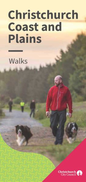
The first Christchurch Coast and Plains brochure gives details about all of the walks available in Christchurch’s flat areas from beachside wanders to forest strolls. It has been published by the Christchurch City Council parks team.
The brochure, which will be available free from Service Centres and libraries from next month, covers all of the major council, Environment Canterbury and Department of Conservation walks from the borders of the Port Hills to the Waimakariri River.
“This is a comprehensive guide to all of the walks available in the flat parts of the city all the way to the Waimakariri River in the north,” council parks and programmes manager Kate Russell said.
“We are very lucky in Christchurch to have such a range of landscapes to enjoy, from native bush to wetlands, landscaped parks and the coastline.
“Apart from the Port Hills, most of these areas are flat and ideal for easy walking.
"This handy booklet brings all of the options together, and I think even people who have lived in Christchurch for a long time will discover new places to go and explore. It’s going to be a really useful resource for everyone.”
The Christchurch Coast and Plains brochure has information and maps of 37 different walks in locations around the city including The Groynes and Roto Kohatu, Bottle Lake Forest Park and Spencer Park, Travis Wetland, Styx Mill Conservation Reserve, Ferrymead and the Ōpāwaho Heathcote River, Riccarton Bush, Sumner, the Southshore coastline, the city centre, Ōtākaro Avon River, and Ngā Puna Wai.


