What looked like the potential start of a dry spell changed after last week's cold snap.
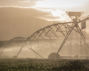
But below-average rainfall remains a possibility for the coming months.
National Institute of Water and Atmospheric Research (Niwa) principal scientist - forecasting Chris Brandolino said on Monday that the unsettled weather meant it was too early to predict whether there would be a drought.
''But over the next 10-14 days rainfall for Otago will be below average.''
He said temperatures could even climb into the 20s.
Federated Farmers Southland president and high country chairman Geoffrey Young said as farmers headed into the warmer months, soil moisture and rainfall were always front of mind.
Last week's cold snap didn't have a major effect, he said.
''Most people have finished lambing . . .
''It would've had a minor impact on late lambing and calving.''
Mr Young said farmers around the region were happy to have a mild end to winter and a very good early spring.
''By and large Southland has plenty of grass and the stock are all looking and doing well.''
Mr Young said farmers were well positioned heading into the 2018-19 summer season.