MetService says ex-tropical cyclone Vaianu is still "a life-threatening weather system" as it tracks down the North Island.
The agency earlier said the system had shifted slightly east and warned that for some areas the worst was expected about 2pm.
About 2.10pm MetService said it had made landfall near the Maketu Peninsula.
MetService's head of weather news, Heather Keats, earlier said the cyclone would move south down the Coromandel Peninsula before crossing over the Bay of Plenty and Hawke's Bay this afternoon and tonight. It would then pass west of the Chatham Islands tomorrow morning.
"That means some of the worst weather is yet to play out," said.
"But you can see the watches and warnings dropping off, as Vaianu's centre races south.
"At the moment, this is still a life-threatening weather system."
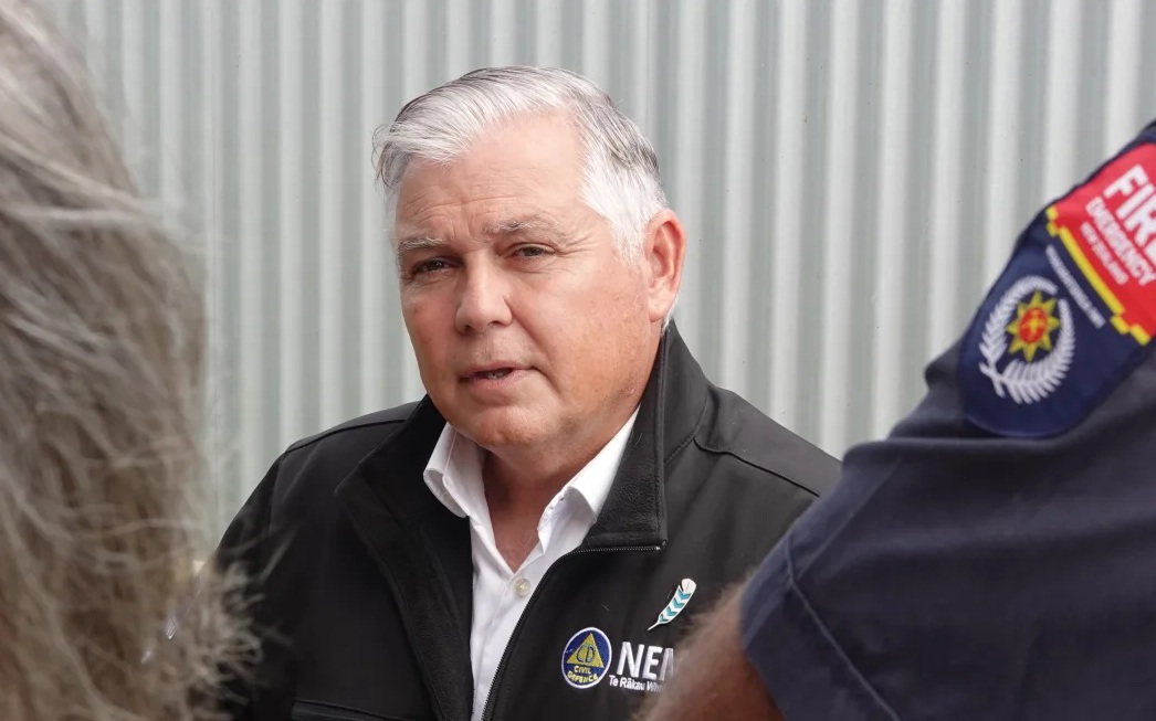
The system moving more to the east was "good news", Emergency Management Response Minister Mark Mitchell said in a briefing about midday.
"What we're going to expect over the next 12 hours is we are going to see a bit more of intensification, as the cyclone starts to come down and get closer to, primarily the East Coast - Bay of Plenty, Tairāwhiti and also Hawkes Bay."
He said it would peak around 2pm, coinciding with high tide.
Mitchell reminded people to keep their vehicles off the road where possible.
"If you can avoid travel, do that."
Red strong wind warnings are in effect for Great Barrier Island, the Coromandel, Rotorua and Bay of Plenty, and severe weather alerts are in place over all of the North Island.
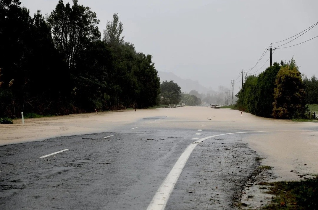
In the South Island, an orange heavy rain warning is in place for eastern Marlborough for most of today, and a heavy rain watch is in place for Nelson, from 9am to 9pm.
Whakatāne's Acting Mayor Julie Jukes told the Herald the cyclone had tracked further east than originally thought overnight, putting her district "directly in the firing line".
The district was now bracing for gale-force winds of up to 150kmh, extremely strong storm surges and potentially 12-metre-high waves when the cyclone coincides with high tide at 2.20pm today.
She said residents needed to take this cyclone seriously and put safety first as it nears.
“We are asking residents to follow evacuation advice, stay off the roads unless critical, and to keep well away from the coast. This is not a time to take risks.”
The Whakatāne District Council has posted to the Ōhope Facebook community page to 'get out now'.
"Regardless of whether you have been issued a mandatory evac order, or have been 'strongly advised' to evac - the message is clear - GET OUT."
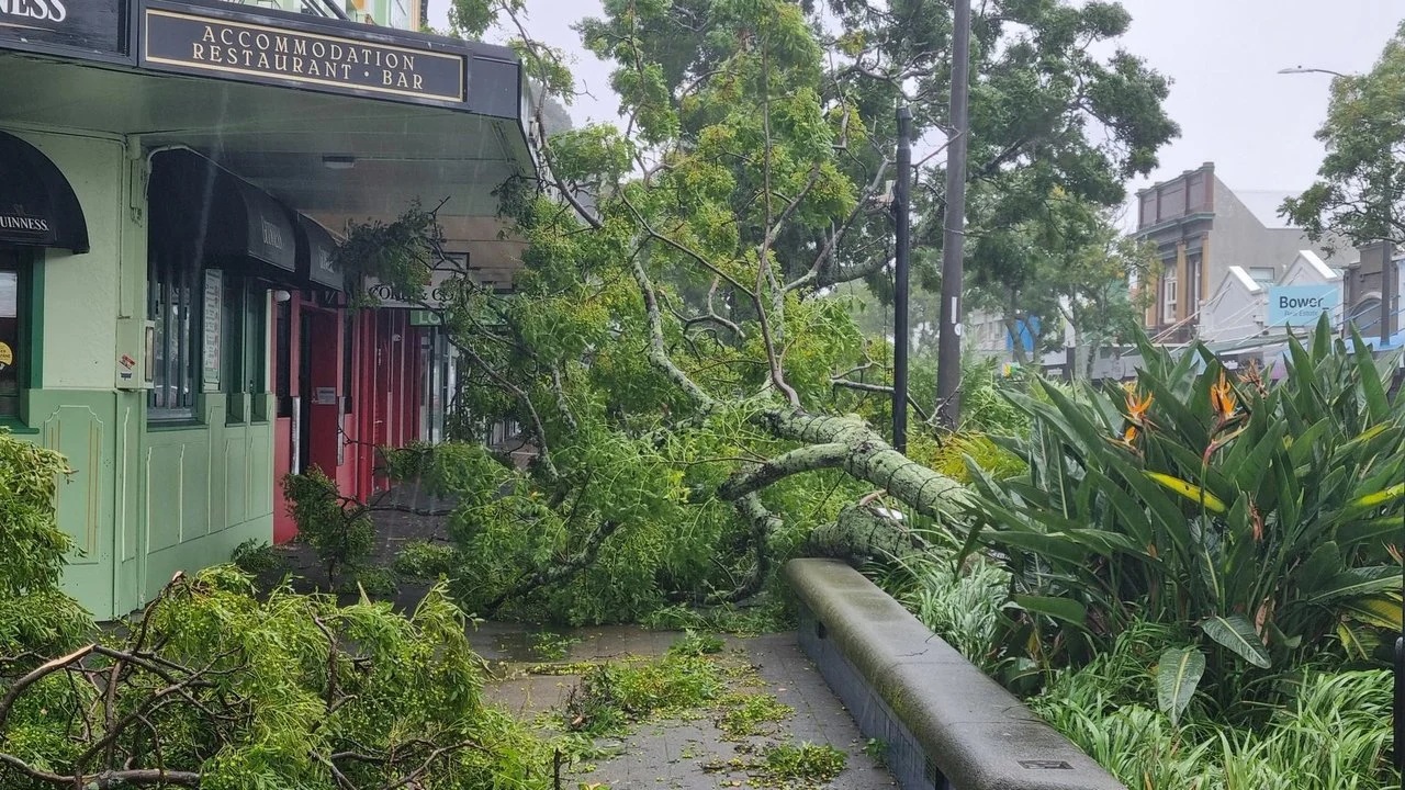
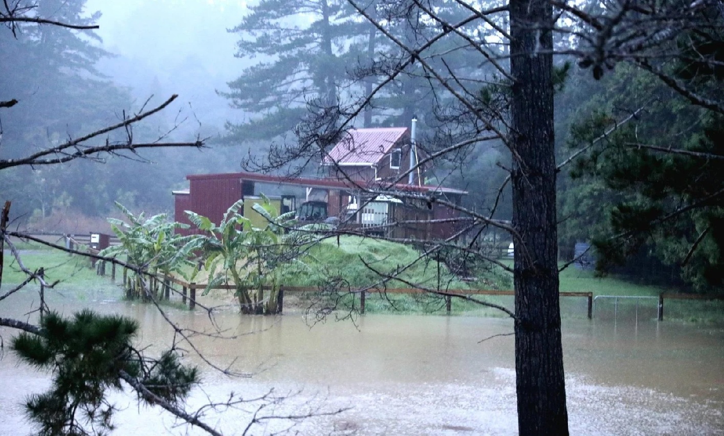
Meanwhile, power remains out out to thousands of consumers as wild winds and heavy rain continue to hit much of the North Island.
Gusts of up to 130kmh were recorded in the outer Hauraki Gulf and around Coromandel overnight, and in some places, trees have come down on power lines.
More than 4000 properties remained were without electricity at midday.
Further north, all of Northland is in a state of emergency, and Northland Civil Defence has evacuated homes in Kerikeri because of fears large trees could come down.
Waikato including Coromandel Peninsula is also under a state of emergency.
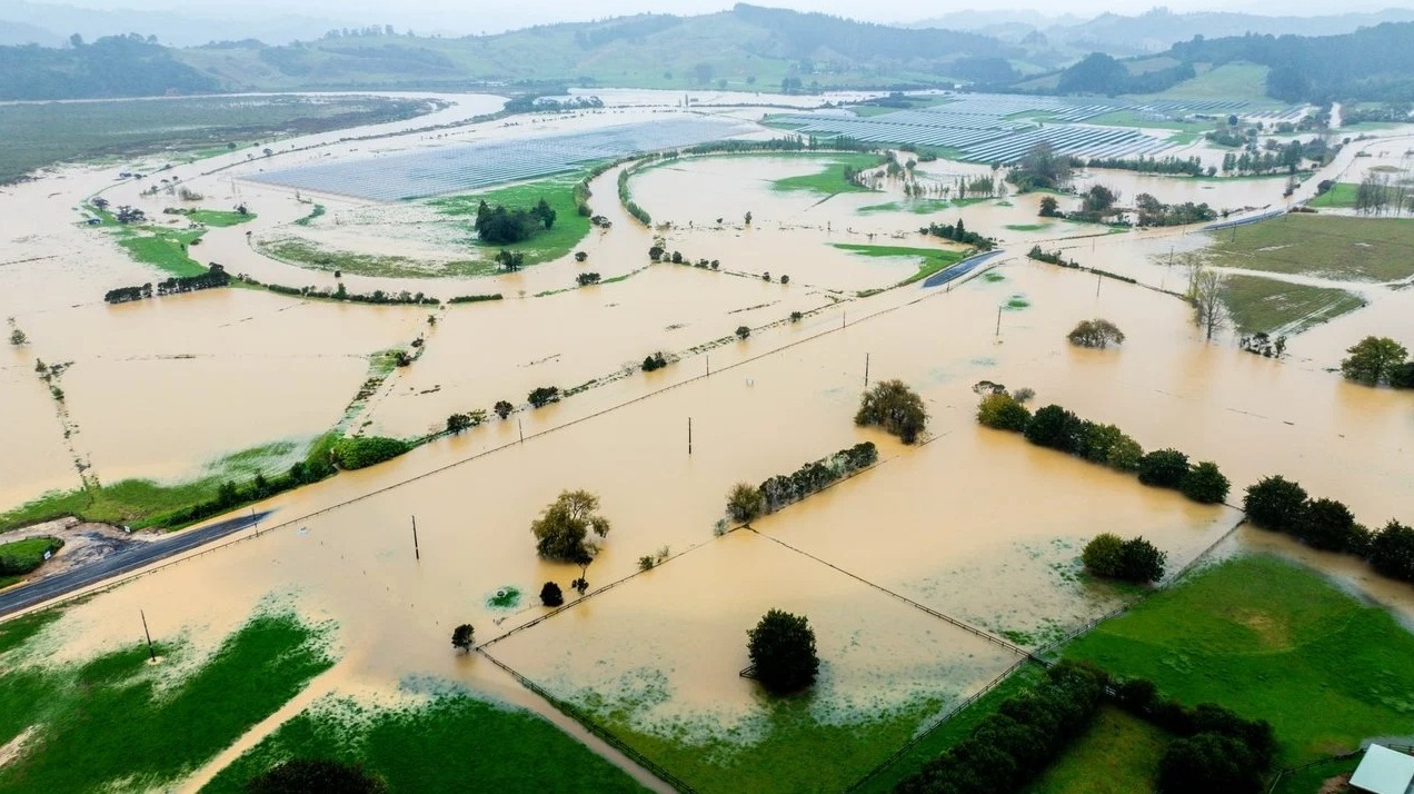
Around Tauranga, people living in low-lying and coastal areas around were being told to consider self-evacuating now with a threat of flooding when the cyclone crosses the region.
Tauranga City Council is warning the most dangerous period is expected about 2pm when the centre of the cyclone will be across Tauranga as the same time as high tide.
“Act quickly to self-evacuate if you feel unsafe. Tauranga residents living in coastal and low-lying areas that have flooded before should seriously consider self-evacuating now.”
The council said If self-evacuating, to seek refuge with friends or whānau first.
The council yesterday warned of "potential for flooding levels not previously seen".
- with Allied Media


