
Dunedin looks set for another drenching in coming days, while other parts of the South could be in line for some more heavy snow.
MetService this evening updated its severe weather advisories to include a heavy rain watch for Dunedin and North Otago, for 12 hours from 3pm tomorrow.
Periods of heavy rain were expected, and amounts "may approach warning criteria".
The forecaster also issued a heavy snow watch for Queenstown Lakes District, Central Otago and Canterbury south of the Rangitata River, for eight hours from 9am tomorrow.
MetService is warning that periods of heavy snow are possible above 600 metres, and falls as low as 400 metres are possible in some places.
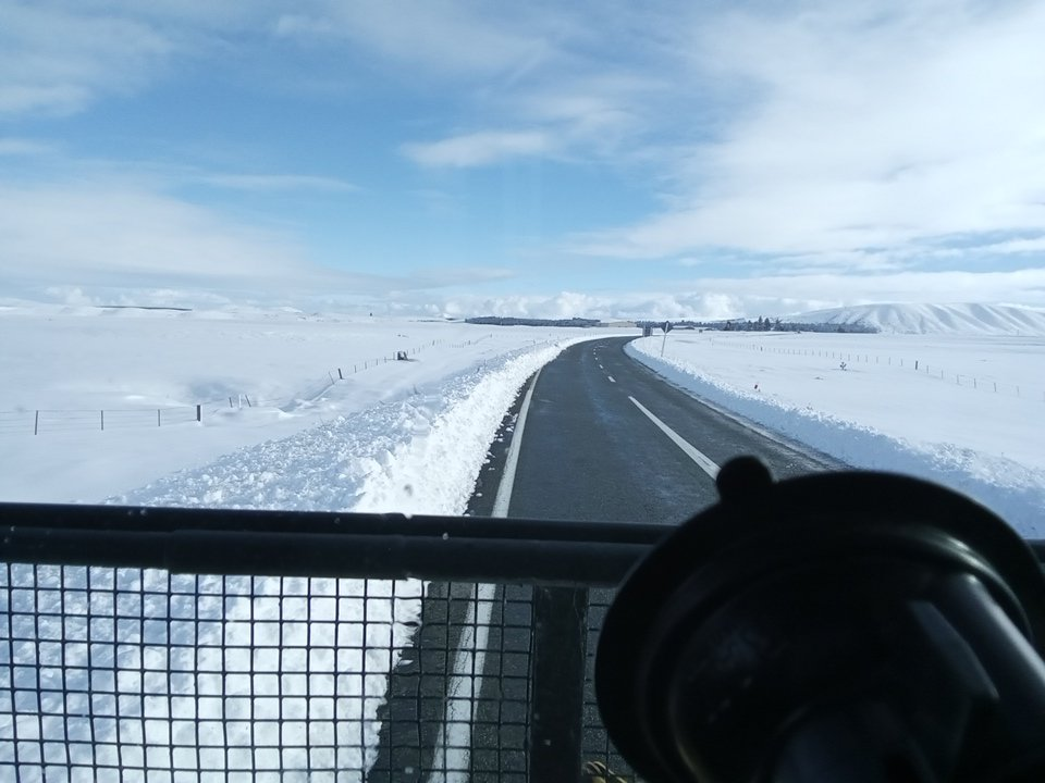
NZ Transport Agency Waka Kotahi (NZTA) this evening said it was reminding motorists to plan ahead and be prepared for disruption on the roads owing to the forecast snow.
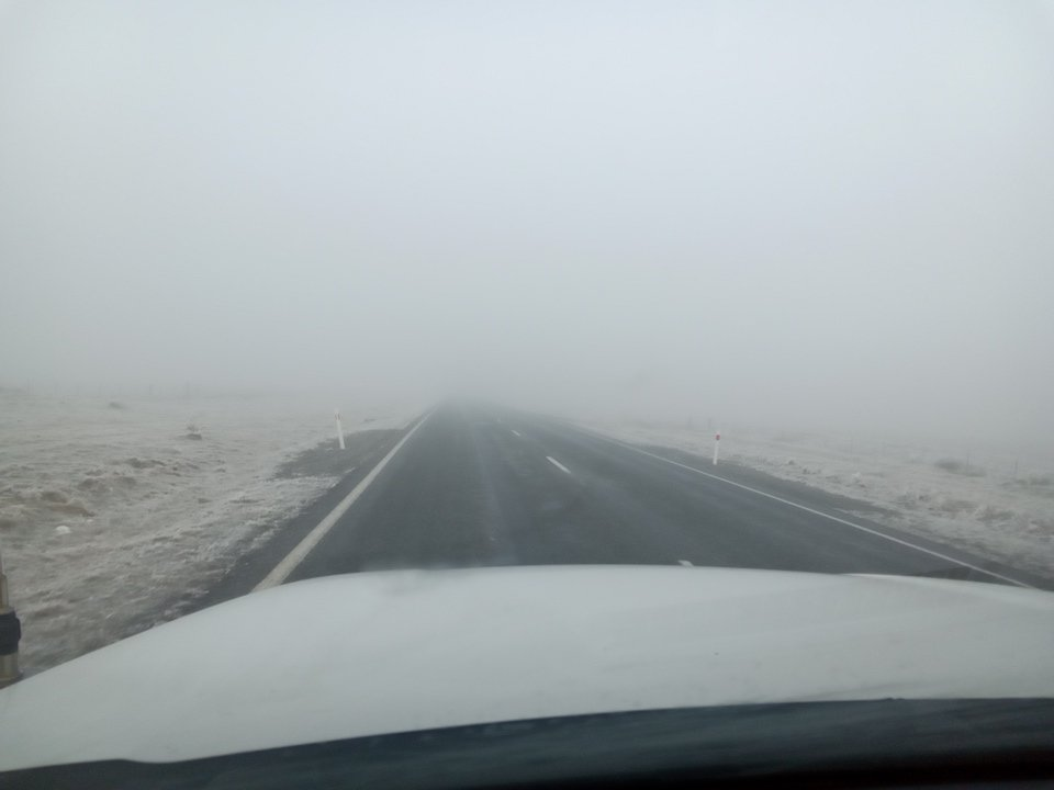
"The cold conditions also bring the prospect of ice on the roads through to Friday, and freezing fog, especially on state highways in the Mackenzie Basin.
"NZTA’s roading crews will be out from the early hours tomorrow morning ploughing snow or spreading grit and a de-icing agent on state highways."
Lindis Pass (SH8)
From 6am to 5pm on Thursday: Expect 8cm to 12cm of snow about the summit with lower amounts to 400 metres.
Crown Range Road
From 7am to 6pm on Thursday: Between 3cm and 6cm of snow is forecast about the summit, with lower amounts to 600 metres.
Heavy snow blanketed Central Otago and Queenstown Lakes areas last weekend, closing state highways in Otago but proving a boon for ski fields.
- APL


