
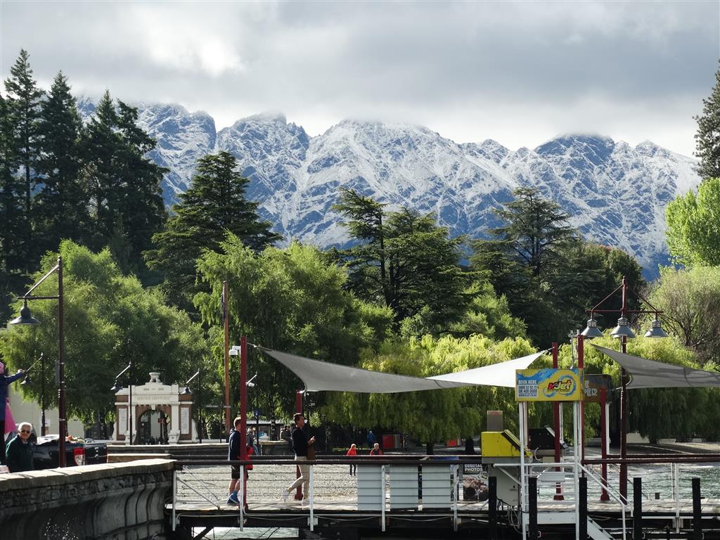
There's fresh snow on the tops around Queenstown today, after a dusting on some peaks in the Lakes area yesterday.
Weatherwatch says temperatures will be down in many places as a storm near Stewart Island slowly tracks eastwards, dredging up the cold change.
The forecaster said most of New Zealand would be below average today temperature-wise, and single-digit highs were likely through some parts of Otago and Southland,
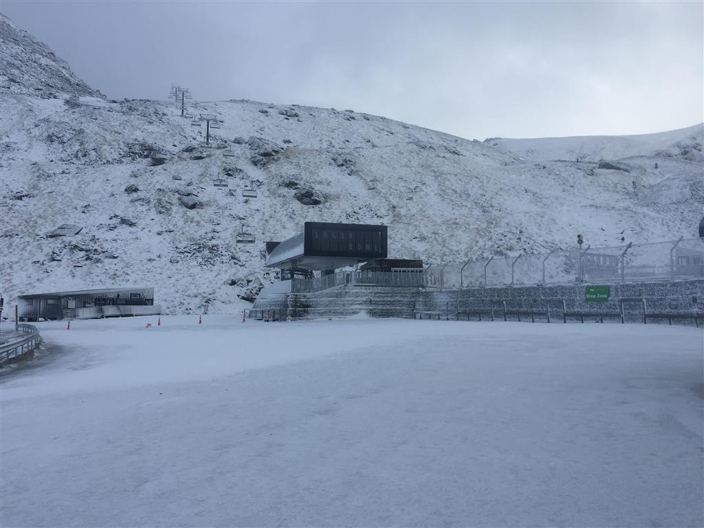
The Remarkables ski area had about 5-10cm of snow overnight, a spokeswoman said. They were expecting a few more snow showers throughout the day then possibly another 10-15cm tonight.
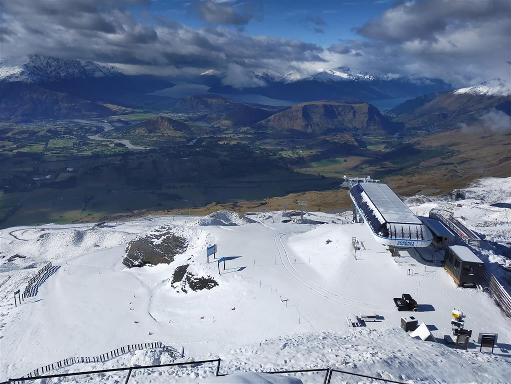
Coronet Peak had a dusting of 3-6cm down the bottom and around 10cm at the summit.
Gale westerlies were possible in exposed places.
Rain and strong winds were predicted again for Thursday, before conditions eased on Friday.
Related Stories


Comments
Ahh yes, this must be the "Drier and Warmer than usual" summer the climate/weather experts warned us about just months ago. Confidence about the accuracy of the same experts predictions for 10 years time must take a hit.