MetService has issued strong wind watch for the entirety of Otago until 10pm, as well as a heavy rain watch for the headwaters of Otago lakes and rivers. A wind watch for Fiordland, Stewart Island and Southland, issued earlier, has been lifted tonight.
But it is the snow that will bring the biggest surprise.
MeService meteorologist Oscar Shiviti said colder air would bring sleety showers to low levels in Southland and Clutha overnight tonight and into Wednesday morning, with a noticeable wind chill.
Those areas in the south may see snow down to 300 metres, but it would likely fall even lower in some areas, Shiviti warned.
It is a similar forecast for Dunedin, with rain this evening falling as snow above 300m.
A road snowfall warning has been issued for State Highway 1 between Dunedin and Waitati from 9pm today until 2am on Wednesday.
MetService warned 1cm could settle on the highest points of the road, with lesser amounts down to 200m.
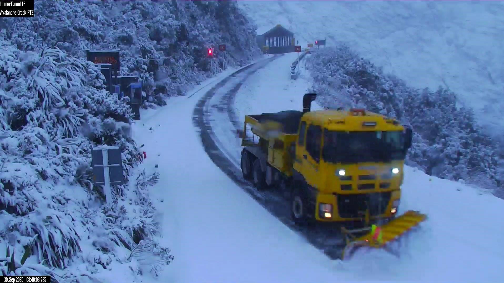
The alpine passes across the South Island are also expected to receive some snow, and the Milford Road/State Highway 94 is closed from the Hollyford Road intersection to Donne River Bridge due to snow and a rising avalanche risk - but is expected to reopen by 10am on Wednesday.
Road snowfall warnings have also been issued for Crown Range Rd and Lindis Pass (SH8), as well as further north on Lewis Pass (SH7), Arthur's Pass and Porters Pass (both SH73).
The heavy rain watch for Otago's headwaters runs from 2pm today until 1am on Wednesday.