MetService meteorologist John Law said snow started falling across the Otago and Southland regions yesterday afternoon, including in the hill suburbs of Dunedin.
Late yesterday afternoon, a New Zealand Transport Agency Waka Kotahi spokesman warned some state highways in Otago would be affected as the weather system moved up the South Island.
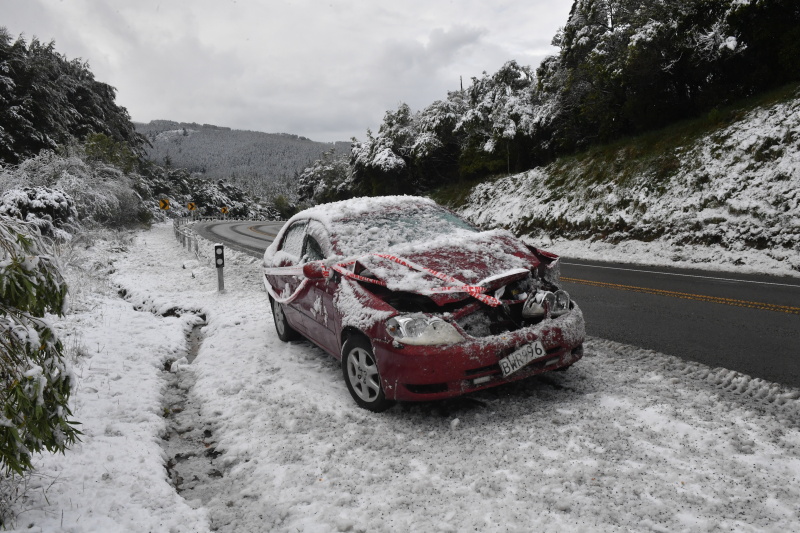
Several roads around the South have been closed and care is being urged on others, NZTA said in an update this morning.
State Highway 6 from Haast to Makarora has been closed, NZTA confirmed this morning.
SH85 from Kyeburn to Palmerston and SH87 from Kyeburn to Mosgiel had both reopened by 10am after also being closed due to snow, NZTA said.
Care remained advised when using those roads.
SH94 from Te Anau to Milford had been closed due to avalanche activity.
It has also reopened, but will close again at 5pm today for expected evening snow.

"People should plan ahead and consider delaying travel where warnings are in place," Mr Law said.
Mr Law said overnight temperatures were expected to plummet below zero in many parts of the southern regions and snow was expected to fall as low as 200m — particularly in Central Otago.
Mr Law said that could make travel a little dicey this morning.
"You’re looking at some really cold air, but also moisture running through the region that could fall as snow."
He said snowfall was expected to stop by 7am this morning, but that did not mean the danger was over.
"Taking that extra time and care on the roads really will pay off first thing tomorrow.
"It’s worth saying that even if it has not snowed, we’ve seen the wet weather come through and those icy temperatures, particularly for those inland parts and over the higher parts, dipping down below freezing, which could mean there’ll be some icy spots on the roads as well.
"So, watch out for that, especially if you’re up before dawn."

"Hopefully, we’ll start to see the temperatures pick up once the sun comes through, but it’s still going to be feeling pretty cold, even as we head through the daytime tomorrow with highs of only around 11°C."
He said another front was expected to push through this evening, but it would only bring showers.
The rest of the week would be far more settled — a welcome relief, he said.