PHOTO
A new central city bypass has been revealed in maps showing two options for a major overhaul of Dunedin's central city street system.
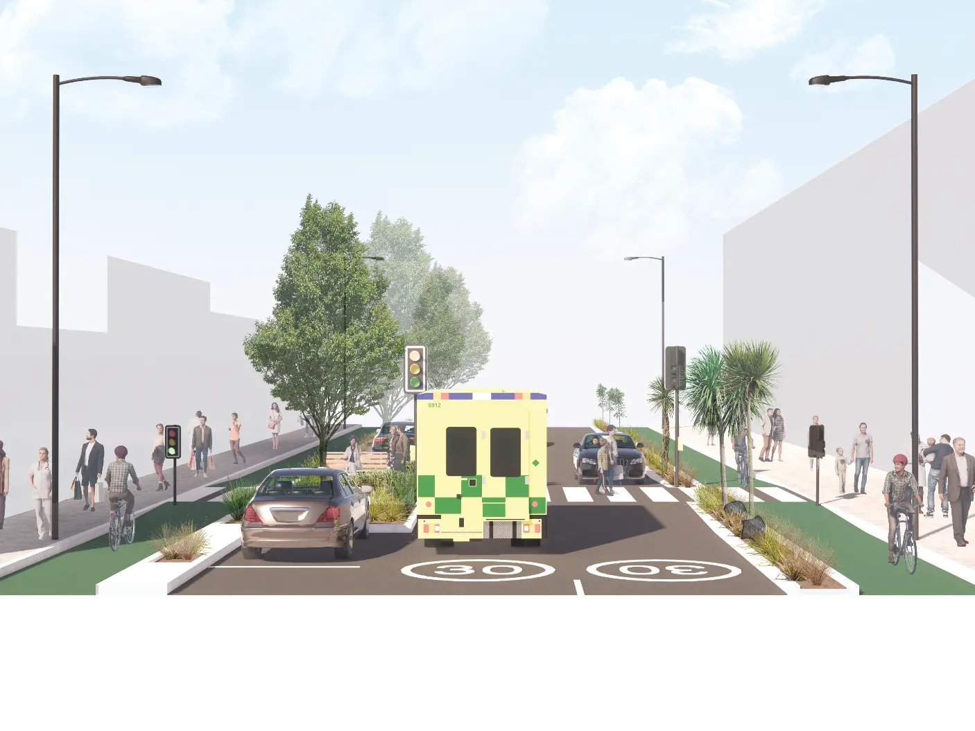
The maps, released by the New Zealand Transport Agency today, show two options: keeping the two one-way state highways through the central city, or turning the existing south-bound Castle St one-way state highway into a 50kmh two-way highway and the existing Cumberland St one-way state highway into a two-way 30kmh local road with cycle lanes.
In both options it is proposed to develop what it calls the "harbour arterial" - along Wharf St and Thomas Burns St so that it can handle more traffic, providing an alternative route bypassing the city centre and avoiding the new hospital during and after construction.
The arterial would begin at the Andersons Bay Rd intersection, turn on to Strathallan St, Wharf St, Thomas Burns St, to the overbridge on to Anzac Ave then either travel back on to the state highway heading north via Frederick St, or turn towards the port at Port Chalmers.

The main east-west route on St Andrews St would be moved to Frederick St.
In the two one-way highways option a slow-speed zone (30-40km/hr) would be introduced on both current north bound and south bound routes.
People are asked to make any comments about the proposals online, and to fill in an online survey identifying their preferred option.

People can take part in the discussion here.