PHOTO
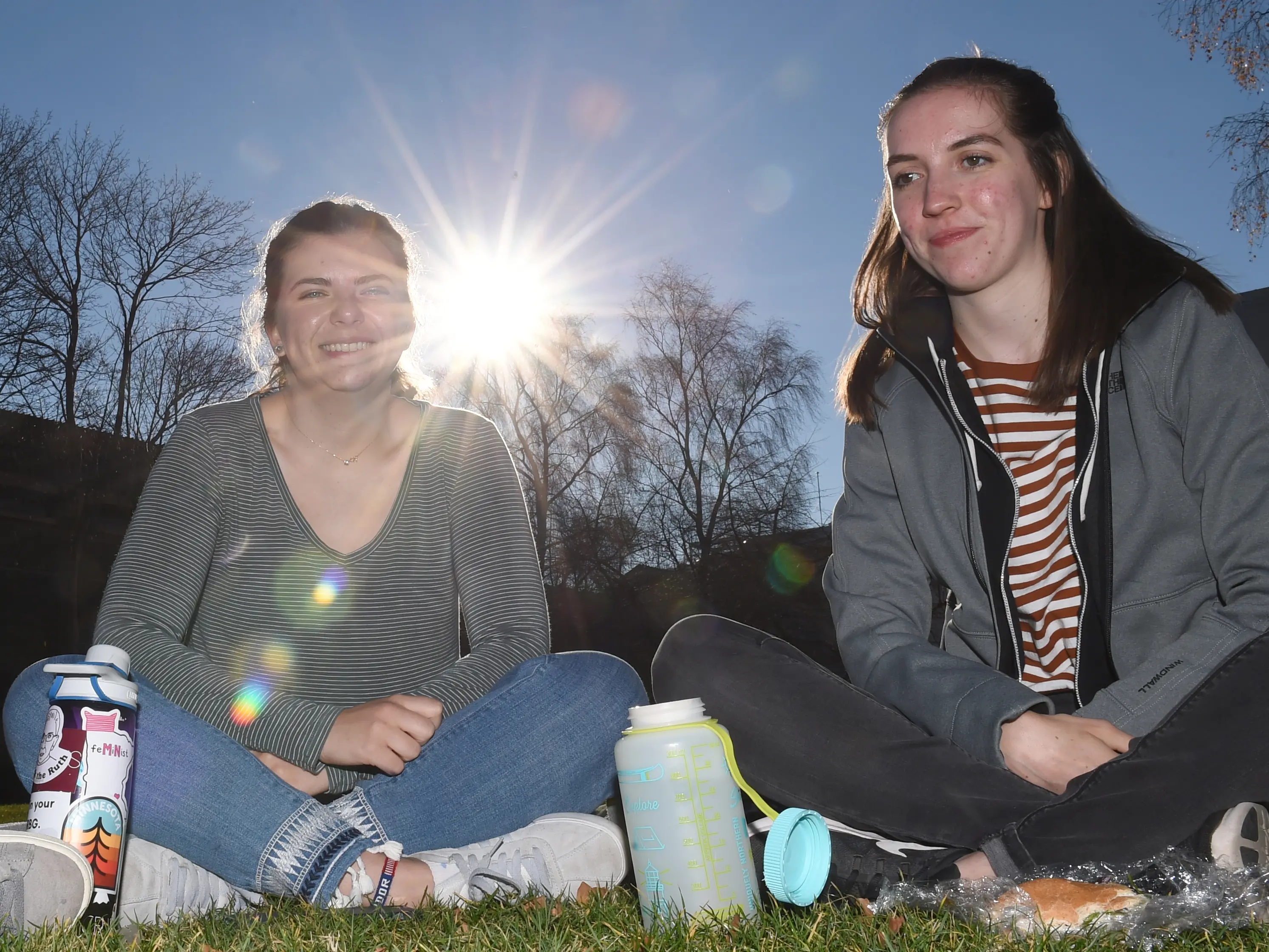
Dunedin basked in a weather sweet spot yesterday and recorded its warmest July temperature since records began.
But things started to go south by the afternoon and today will see a return to regular winter service.
''You're in a sweet spot just before a trough to the south and after that front that moved over yesterday, so you're sitting pretty compared to the rest of the country,'' meteorologist April Clark said about noon, as many city residents enjoyed lunch under the low winter sun.
At 12.30pm, Dunedin was the hottest place in New Zealand at 20.1degC, according to the MetService website.
The temperature maxed out at 20.3degC at the National Institute of Water and Atmospheric Research's Musselburgh station, the warmest July reading in the city since records began in 1947.
However, things were not so rosy further south, as Invercargill was the coldest in the country at 11degC.
Ms Clark said Dunedin was expected to get a few showers by late afternoon today as a trough moved over from the west.
Northerlies were bringing the current warm temperatures, she said.
''It is turning southerly from [today], so overnight you'll be getting that southerly change behind that trough, so generally mainly fine [yesterday] with a few showers possible from a trough that's mainly affecting the west.''
The high in Dunedin today was predicted to be 11degC, still up from the winter maximum average of 9.5degC.
The MetService thunderstorm outlook said the front would bring with it the chance of thunderstorms across the South.
There was a moderate risk of thunderstorms about Fiordland, southern Westland and Stewart Island, which extended to coastal Southland and Clutha last night.
Any thunderstorms that occurred had the potential to bring localised heavy rain with intensities of 10mm to 20mm an hour and small hail, and for southern Westland and Fiordland strong winds gusting 90kmh.
A lower risk of thunderstorms extended north to central Westland and east to remaining areas of Southland, Clutha and Otago.
-Additionally reported by Vaughan Elder