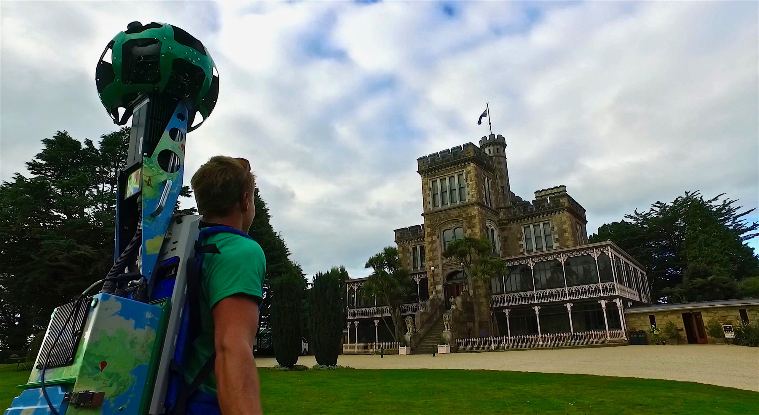
Full 360-degree panoramic views of Fox Glacier, the Central Otago Trail, Huka Falls and other sights were captured over the past 12 months using the Street View Trekker, a wearable backpack outfitted with 360-degree cameras designed for locations accessible only by foot.
Some of the imagery was captured in partnership with local authorities, such as Whakatane District Council which assisted with White Island.
This launch follows seven of New Zealand’s Great Walks which were added to Street View in 2015.
Google New Zealand Country Manager Stephanie Davis said the imagery would showcase many of New Zealand’s most iconic natural attractions to potential visitors from home and abroad.

“Google Street View can never replace the real life experience of our fantastic nature, but giving people a taste through their smartphones or other devices is a brilliant way to capture people’s imagination and encourage them to explore further and travel to New Zealand,” she said.
Ms Davis said the future of the travel industry was increasingly digital and there are significant opportunities for New Zealand tourism operators to tap into the growing market.
Google search data shows interest in travelling here is outpacing other top destinations, and more people are researching New Zealand on their mobiles.
“Attracting them means using the internet well to tell New Zealand’s stories. Immersive experiences like Street View are good examples of how this can be done,” Ms Davis says.