
MetService meteorologist Luis Fernandes said 7.4mm fell between 3.30am and 4am yesterday, bringing the city’s total rainfall to 14.4mm overnight.
During the same period, about 9.8mm fell at Dunedin Airport and similar amounts fell around the rest of the Otago and Southland regions.
"It’s a respectable amount, but it’s not enough to break any significant dry spell of any kind.
"Fourteen millimetres is enough to soak the ground a little bit, but a day or two of dry weather and it will be like it never happened.
"So until residents are told otherwise, they should continue to conserve water," he said.
Dunedin residents are still under voluntary water restrictions.
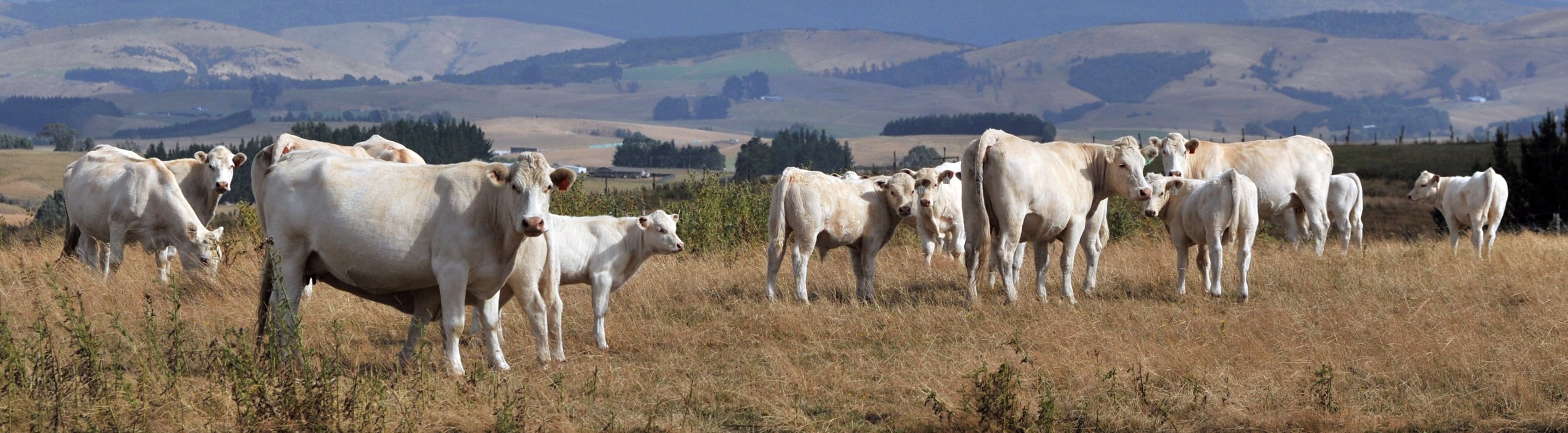
Much of the southern region has been extremely dry since the start of the year, and a small portion of southeastern Otago and Dunedin officially entered meteorological drought in mid-February.
Some significant rain fell near the end of February, but even that was not enough to take the extremely dry areas out of drought danger.
The city is still at risk of going back into drought.
Niwa meteorologist Ben Noll said soil moisture levels had improved across the rest of the southern region, but there was still some remnant dryness across coastal Otago (including Dunedin).
"These droughts and dry spells don’t get eased overnight.
"This is something that is probably going to take another wet front or two, to fully ease things.
"It will be a gradual process, rather than a one-hit wonder."
Another front was due on Friday, and beyond that it appeared "semi-regular" fronts would come through — but nothing "dramatic".
"A little bit, often — I’m sure the farmers will be happy about that."


