
Winds gusting over 100kmh on the Taieri have lifted a large part of the historic National Airways Corporation hangar roof.
Power was out to hundreds of customers in Allanton, Momona and Outram but was restored shortly before 4pm.

"It looks like about a third of the roof has been lifted. It’s kind of just hanging in there and remaining put at the moment.
"We had the fire department here and we talked to some roofing guys, and none of them were keen to go up there and fix it.
"So we’ve closed the road behind the hangar, which is sensible, because if anything does come off, it’s going to fall on to someone.
"There’s not much else we can do about it at the moment."
A MetService spokesman said winds reached 130kmh in parts of Otago and Southland this afternoon afternoon, including 110kmh at Dunedin Airport at 2pm.
The biggest gusts reached 160kmh at Mid Dome and Stewart Island at 2am this morning.
He said the wind would change to a southwesterly direction after midnight tonight and the winds could gust even higher.
The severe gales also forced a flight into Dunedin Airport to divert back to Auckland, after aborting two landings this morning.
A raft of trampolines have also been blown out of back yards around the city.
Aurora Energy customer and engagement manager, Lisa Gloag, said the Allanton outage was caused by strong winds.
A Dunedin Airport spokeswoman said the airport experienced "a blip with the winds", that cut power to the main lines, with the backup generators needing to kick in.

Another outage caused by strong winds, across the Dalmore, Gardens and Mt Cargill areas, affected 386 people at 2.12pm, Ms Gloag said.
Ms Gloag said most customers had power restored by about 2.45pm. Thirteen customers were still without power, with an expected restoration time of just before 7pm.
Snow closes alpine highways

However, chains are required between Eastburn Rd and Cardrona Village.
Forecasters were expecting up to 10cm could settle on the road above 700 metres and it was likely to continue snowing until tomorrow. Access to the Crown Range from SH6 at Arrow Junction also closed about 1.30pm today.
Southland's Milford Road (SH94) closed yesterday due to heavy snow, fallen trees and the risk of avalanche and remains shut.
Work to clear the major highway had to be abandoned this morning as conditions were "so bad", spokesman for Waka Kotahi/Milford Road said. Up to 40cm was expected to fall until tomorrow.
Strong winds and rain
"Watches and warnings for strong wind are now in force for many parts of central and southern New Zealand, while heavy rain watches are in force for the West Coast and Fiordland, and also the headwaters of the Canterbury and Otago lakes and rivers," a MetService spokesman said.
Possible thunderstorms and a heavy rain watch are in place for Fiordland and the headwaters of the Otago lakes and rivers this afternoon. The rainfall amounts may approach warning criteria, he said.
"In addition, heavy snow watches are now in force for parts of Otago, Southland and Fiordland."Strong wind gusts were being experienced in Dunedin from early this afternoon and other parts of the South, including Millers Flat in Central Otago earlier in the day.
MetService today updated wind warnings for North Otago, Dunedin and Clutha advising that from 9am today until 8am tomorrow northwest gales were forecast to be severe at times, with gusts reaching 120 km/h, especially around the middle of today and into the evening. Winds will change southwest tonight, with gusts reaching 120km/h.
Further south, strong winds of up to 130km/h in exposed places were expected in Fiordland, Queenstown Lakes, Central Otago, and Southland including Stewart Island from 9am today until 3am tomorrow.
Take care on snowy highways
The Milford Road closed yesterday afternoon from East Gate (Hollyford) to Donne River (Westgate) and would remain closed today, Waka Kotahi/NZ Transport Agency advised.
"Due to fallen trees, heavy snow and the avalanche hazard in place for the area being upgraded to moderate, the road will likely remain closed until at least Wednesday morning."
From midday today until to 6am tomorrow, heavy snow was expected to affect the road, with 20cm to 40cm of snow forecast to settle on the road near the tunnel, with lesser amounts down to 300 metres, MetService said.
There was also a heavy snow watch in place for Southland, Clutha and Fiordland, where snow was forecast to lower to 400m tonight and down to 200m early tomorrow morning.
"Snowfall could be heavy at times above 400m and snow amounts may approach warning criteria above 400m. Further snow showers are possible until Wednesday evening, and the heavy snow watch could be extended."
It was a similar picture for the Queenstown Lakes, Central Otago and inland parts of Dunedin, a MetService spokesman said, with snow forecast to lower to 200m early tomorrow morning.
"Snowfall could be heavy at times above 500m and snow amounts may approach warning criteria above 500m. Further snow showers are possible until Wednesday evening, mainly in the south, and this snow watch could be extended."
"People travelling along alpine roads in the coming days are advised to keep an eye out for active road snow warnings and keep up to date with the latest forecasts in case any changes are made," the MetService spokesman said.
The southwest flow should ease over the country during Thursday and Friday as a large high pressure system moves over New Zealand from the Tasman Sea at the weekend, he said.
Snow warnings for alpine roads
DUNEDIN TO WAITATI (STATE HIGHWAY 1)
Period: From 6am Wednesday until 3pm Wednesday:
Snow showers are likely during the morning, and 1 to 2cm may settle on the road above 300m.
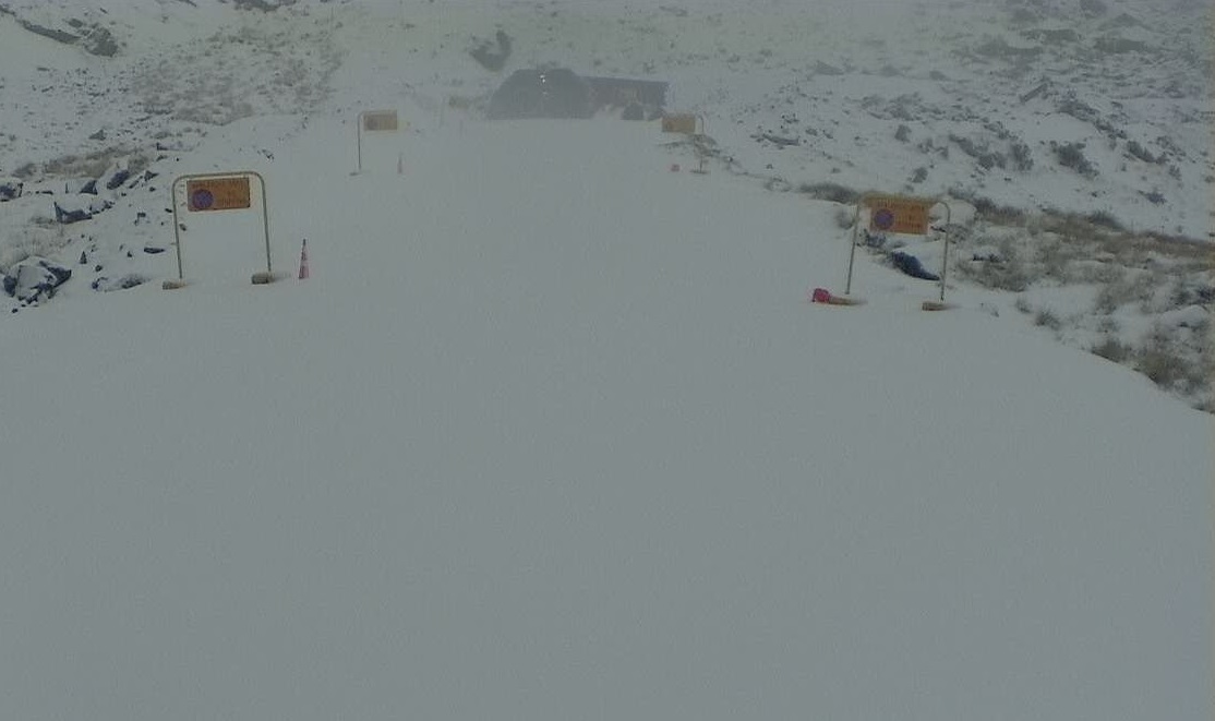
CROWN RANGE ROAD
Period: From 9pm Tuesday until 10am Wednesday:
Snow forecast above 700 metres from the afternoon, lowering to the valley overnight. Between 4cm and 8cm could settle on the road above 500 metres, with lesser amounts to the valley. Snow especially likely this afternoon, and again overnight and during Wednesday morning.
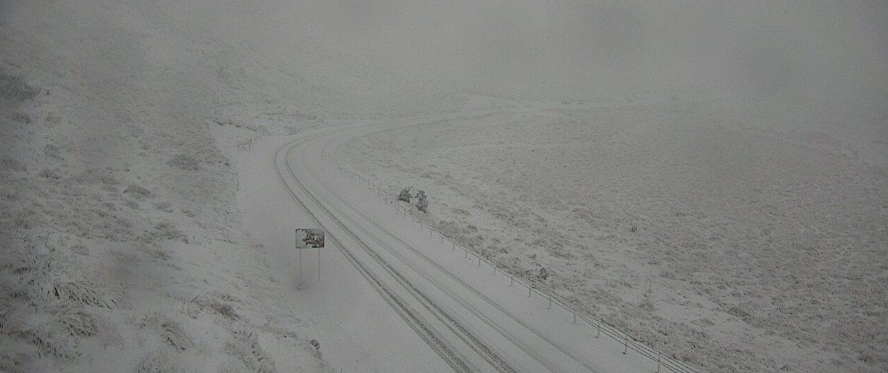
MILFORD ROAD (SH94)
Period: From 12pm on Tuesday until 6am on Wednesday:
The snow level is forecast to lower to 600 metres this afternoon and to 300 metres overnight. From midday today until 6am on Wednesday, heavy snow is expected to affect the road, with 20cm to 40cm forecast to settle on the road near the Homer Tunnel, and lesser amounts down to 300 metres.
LINDIS PASS (SH8)
Period: From 1pm on Tuesday until 12pm on Wednesday:
Snow forecast on Tuesday afternoon, and 1cm or 2cm of snow could settle on the road above 800 metres. Snow should lower to 300 metres overnight, and another 2cm to 4cm may settle down to 300 metres from 3am to noon on Wednesday.
PORTERS PASS (SH73)
Period from 3pm on Tuesday until 3am on Wednesday:
Snow showers expected to affect the road this afternoon, and 1 to 2 cm could settle near the summit between 3pm and 6pm. Another period of snow is likely tonight, and another 2 to 3 cm of snow may settle between 11pm on Tuesday and 3am on Wednesday.
ARTHUR'S PASS (SH73)
Period: From 3pm on Tuesday until 3am on Wednesday:
Snow forecast about the road this afternoon, and 2cm to 3cm could settle between 3pm and 6pm. Another period of snow likely tonight, and 3cm to 8cm (possibly even more) may settle between 11pm today and 4am on Wednesday.
LEWIS PASS (SH7)
From 5pm on Tuesday until 7am Wednesday:
Snow may briefly affect to road this evening, and 1cm to 2cm could settle near the summit from 5pm till 7pm. Another period of snow is forecast overnight, and 7cm to 12cm may settle above 700 metres.
DESERT ROAD (SH1)
From 9am until 5pm on Wednesday:
Snow is expected about the summit in the morning, lowering to 700 metres later, some 3cm to 6cm may settle.
- additional reporting ODT Online


