
MetService says a trough is moving over the South Island today, bringing strong northwest winds to exposed places.
This unsettled front would affect southern and central areas of the island from today through the weekend.
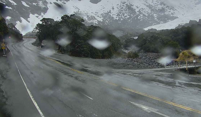
Southland's Milford Road reopened this morning, but motorists were advised to drive with care, as more heavy rain was set to hit the area.
The avalanche risk was currently at low, but that could change on Thursday night when "significant rain" was expected, affecting State Highway 94, the Milford Road Alliance advised today.
MetService is forecasting strong north-westerly winds, turning to gale northeasterlies for a time in the morning, followed by rain with heavy falls.
The road may be closed overnight on Thursday, due to a heightened risk of avalanche, and reopen on Friday morning.
Rain is forecast for the rest of the week, including more heavy spells from Sunday afternoon.
Meanwhile, a strong wind watch is in place for Stewart Island until 3pm today, where northwest winds may approach severe gale in exposed places.
Heavy rain for West Coast, Canterbury
The West Coast is set to get a drenching, with 59 hours of heavy rain forecast for Buller alone.
An Orange heavy rain warning is in force for Westland, about and north of the glaciers for 12 hours from 8pm tomorrow.
MetService says 110mm to 150mm of rain was expected to fall about the ranges, and lower amounts towards the coast. Peak rates of 15 to 25mm/h were forecast about the ranges on Friday morning.
The forecaster warned streams and rivers may rise rapidly. Surface flooding, slips and difficult driving conditions were possible.
Further north, a heavy watch is in place for Buller, with 59 hours of rain forecast from 10pm on Thursday until 9am on Sunday. The watch could become a warning.
"A front is expected to become slow-moving in the area from later on Friday, generating an extended period of rain through the weekend."
A heavy rain watch has been issued for the Grey District from 10pm tomorrow until 9am on Friday, with more rain later in the day and this also could become warning.
Watches were also in place for Westland, south of the glaciers from 6pm tomorrow until 6am on Friday, and for the headwaters of the Canterbury lakes and rivers from around Aoraki/Mount Cook to Arthur's Pass from 10pm tomorrow until 9pm on Friday.
Strong winds were likely for the Canterbury High Country from 10pm tomorrow until 7am on Friday.
- ODT Online


