

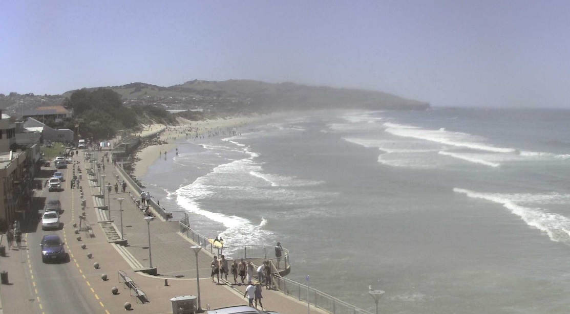
After an unseasonally hot 24degC night in Dunedin, the city and other parts of the South are feeling the heat today as the temperature again threatens the 30degC mark in some places.
MetService says the city was sitting at 24degC around 3am today, after a day in which many parts of the South hit the high 20s or low 30s.
And the heat has showed no signs of waning today. Around 1.15pm MetService showed the city basking in 29.9degC, above its forecast high of 27degC. Alexandra and Millers Flat were also around the 29degC mark, Queenstown Airport showed 25degC and Oamaru Airtport 27degC.
The heat has come courtesy of a blob of warm air out of Australia.
The warm mass, channelled over New Zealand by a big high pressure system parked over the Tasman Sea, is expected to drive temperatures in many places above 30degC this afternoon.
The hottest spots in the country today were expected t be Blenheim (32degC), Hastings (31degC) Christchurch, Ashburton, Masterton and Napier (all 30degC), Metservice meteorologist Andy Best said.
New Zealand’s highest November temperature on record occurred at Lake Coleridge (35.6degC, 1920) followed by Gisborne (34.8degC, 2016).
Niwa reported several spots in inland Otago might have hit record figures even yesterday - they included Clyde (32.5degC) and Alexandra (32.2degC).
“Even in places like the Tauranga, we’re looking at 28C today, while we’ll probably get up to 26C in Taupo,” Best said.
Best said the big temperatures reflected the “rather large area” of the high over the Tasman.
Its size meant that over recent days it had been able to channel warm air from the hot, dry, central part of the Australian continent, down over south-eastern New South Wales, across the Tasman, and then straight into the lower part of New Zealand.
The ridge was expected to lie over New Zealand for much of tomorrow, bringing mainly fine weather and warmer than normal temperatures to many parts of the country.
A front approached the far south of the South Island late Monday, moved slowly northwards onto the South Island on Tuesday and becomes slow moving on Wednesday.
Later, during the second week of November and into the middle of the month, some strong fronts were possible in the South Island, bringing rounds of heavy rain and an increased risk for areas of flooding, especially in the west.
- additionally reported by NZ Herald


