
Light snow was reported on the Crown Range road and the Lindis Pass (State Highway 8) this morning, while the Milford Road (SH94) also received a dusting and is expecting a significant dump of up to 50cm near the Homer Tunnel, from tonight through to late tomorrow. MetService has snow warnings in place for these three roads.
Waka Kotahi says that owing to the forecast snow, the Milford Rd will close overnight between Hollyford and Chasm.
MetService also has heavy snow watches in place for Central Otago, the Queenstown Lakes District, the Canterbury High Country west of Otematata, and about and south of Mount Cook village. The watches are from midnight tonight through to 6am tomorrow. Strong wind watches are also in place for Central Otago, the Queenstown Lakes District and the Canterbury High Country.
MetService predicts some bone-chilling temperatures for inland Otago - its seven-day forecast for Alexandra shows six successive days of sub-zero temperatures, dropping as low as -5degC.
Earlier story
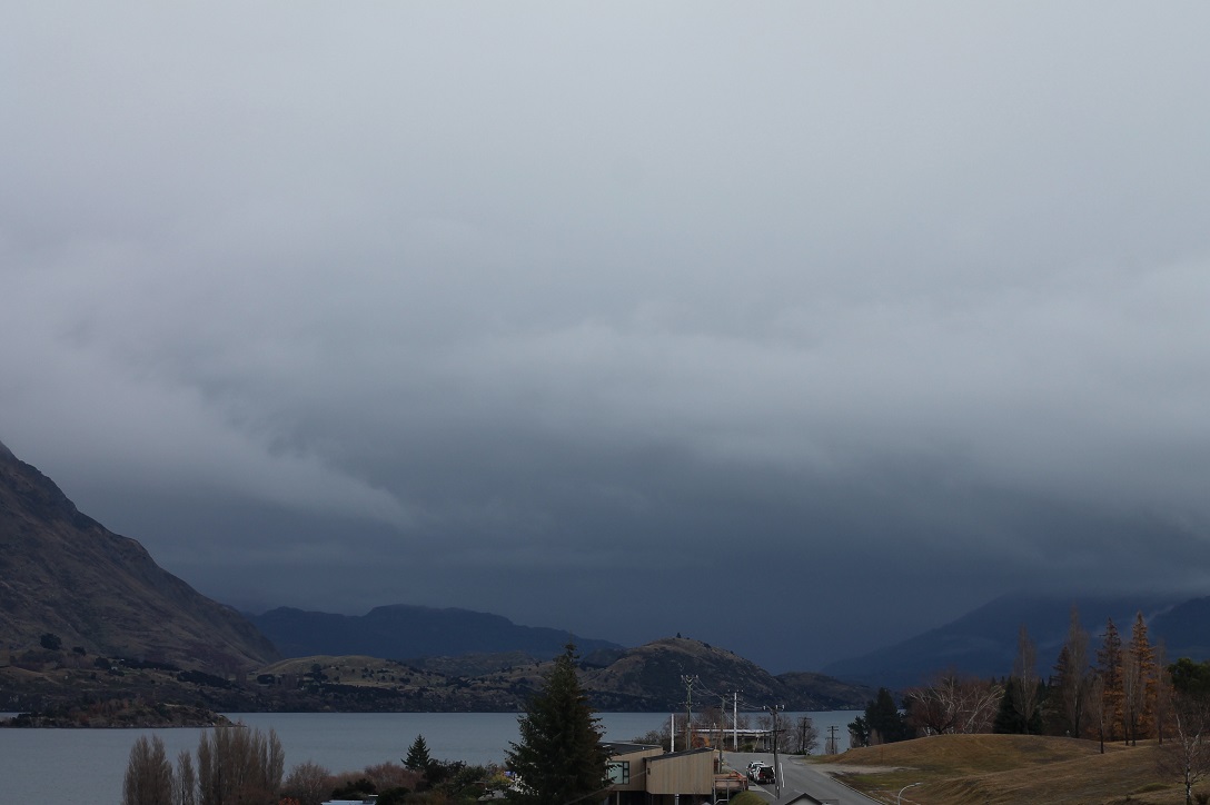
Messages of excitement and caution are "shredding" through the news as the first real snowstorm of the season rolls on to the South Island.
While drivers are being urged to carry snow chains and be prepared for slippery conditions if travelling around inland Otago and Southland this weekend, skifields are looking forward to some coverage.
MetService meteorologist Andrew James said snow levels were expected to drop to 500m tomorrow and to as low as 300m on Saturday.
Much of coastal Otago, including Dunedin, is expected to escape the snow and experience mostly sunny weather with a few small showers during the weekend.
He said a strong moist northwesterly and westerly flow would bring significant amounts of rain to many areas from Thursday to Sunday.
Conditions were likely to cool significantly over the South Island with snow expected in many mountain areas, especially tomorrow.
He said it was likely to be the first heavy snow of the season in these areas, and snow might fall to levels where it could cause stress to livestock and dangerous driving conditions.
A snow warning had already been issued for the Milford Road (State Highway94), where up to 50cm of snow was expected to settle near the tunnel, from tonight through to late tomorrow, he said.
Lesser amounts would settle down to about 600m.
Skifield managers are happy in the lead-up to this weekend’s opening of Cardrona and next weekend’s scheduled opening of Coronet Peak on Friday, and The Remarkables on Saturday.
Cardrona and Treble Cone skifields general manager Bridget Legnavsky said the weather "hit right on time, just as we ordered the weather came in, it’s snowing right now".
"We already have some man-made snow down, but we were relying on the snow to get open."
"We could get the beginners slopes open on Saturday, except for the fact the weather forecast says it’s going to be still stormy on Saturday and Sunday, so we’ll be watching those forecasts with a plan to open, but we’ll play it by ear on the day," she said.
"But we’re still aiming for an open on Saturday [for Cardrona]."
Treble Cone opens on June 25.
Coronet ski area manager Nigel Kerr said the well-timed storm, due to bring snow over the next couple of days — and potentially more to come — "is possibly going to deliver quite an epic open day".
There was potential for up to 80cm of snow by mid-next week, meaning opening on schedule was looking positive.
"There will be enough [snow] to cover the ground and set it all up ... and we will get the guns going full noise for quite a period," Mr Kerr said.
The Remarkables ski area manager Ross Lawrence was confident the learners’ area and at least one chairlift would be operating.
"We’d love to have all four chairlifts going and obviously we’d love to be open full bore but that all depends on how much snow falls out of this storm cycle," he said.
The skifields first turned on snowmakers about a month ago for staff training and a shakedown of the system.
- additional reporting ODT Online


