

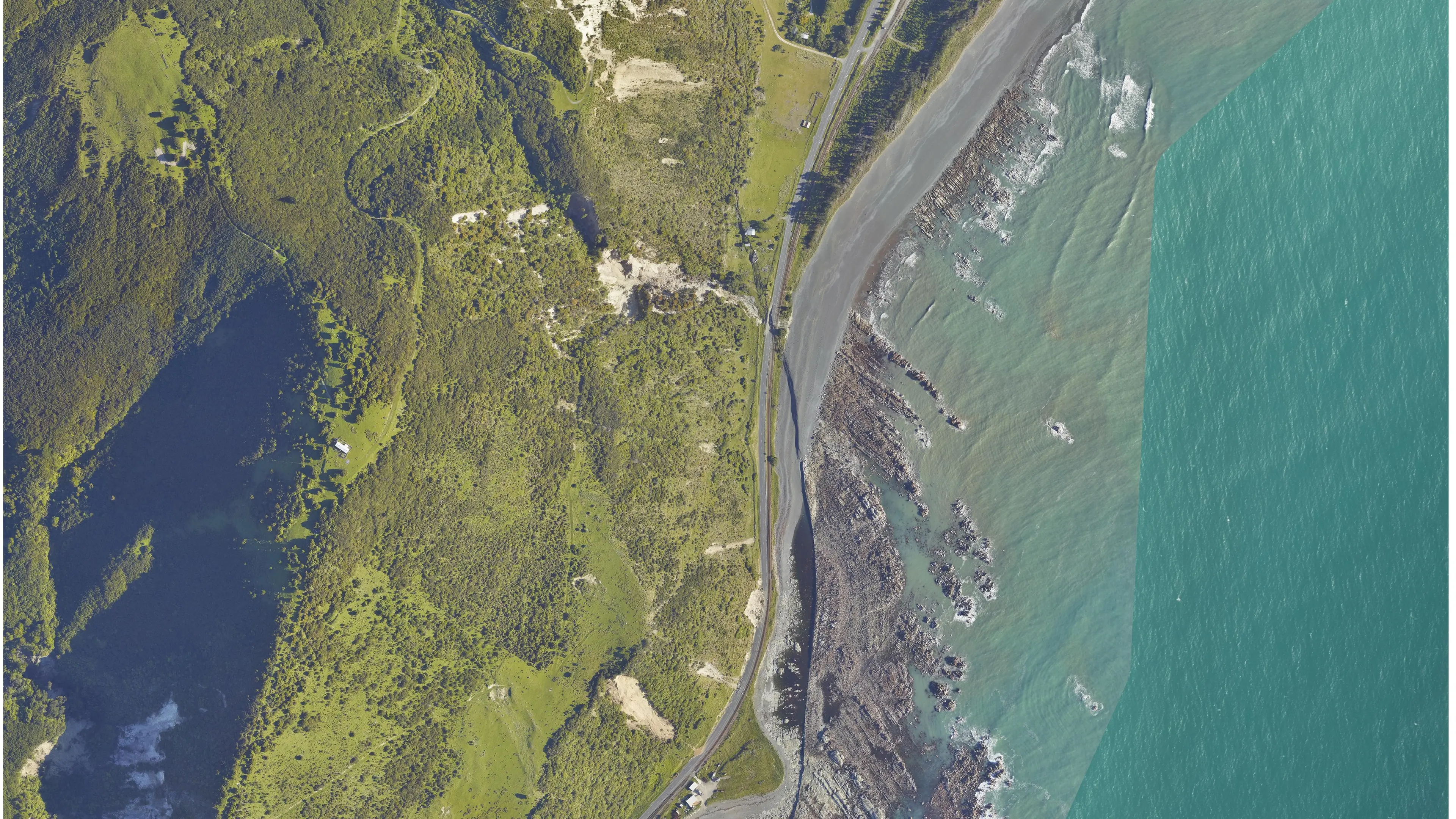
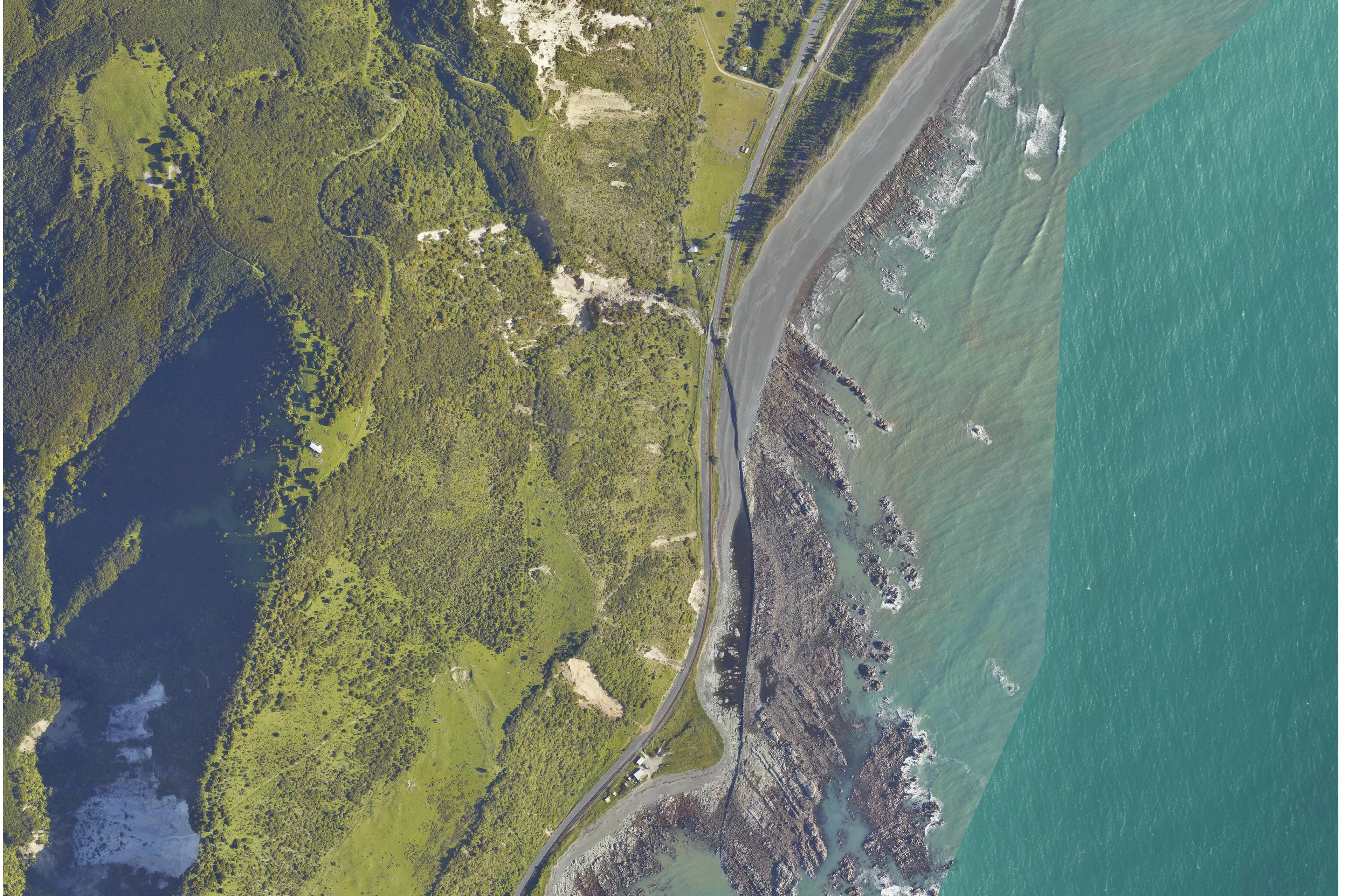
Recovery efforts on the coast affected by the Kaikoura earthquake will be helped thanks to flyover images taken by planes, Land Information Minister Louise Upston says.
The bird's eye view images taken from planes flying over the affected areas showed how dramatically the coastline has changed when compared to images before the November 14 quake, she said,
The joint effort between Land Information New Zealand (Linz) and the New Zealand Transport Agency (NZTA) will help the reconstruction of the coastal rail and road routes which was announced by Minister of Transport Simon Bridges today.
“It’s incredibly hard to understand the true power of earthquakes until you see how easily they move huge geographic features, so images like these will help people more easily grapple with the disruption local communities are facing,” Mrs Upston said.
These images will help the agencies involved in the recovery effort with the rebuilding of roads and infrastructure as well as indentifying new hazards that may be faced.
“Further down the track, Linz will be able to give surveyors precise coordinates reflecting the impact of the quakes, helping them more accurately work on the local rebuild."
A quick suvery of the sea floor will also be conducted by Linz and the Australian Defence Force, she said.
“This will help identify any immediate hazards to navigation, update nautical charts, and identify where further surveys might be needed.”