
MetService has updated its latest forecast and issued several warnings for heavy rainfall and severe gales which may cause slips, surface flooding and hazardous driving conditions in parts of Otago and Southland tomorrow.
An active front is forecast to move across the South Island tonight and tomorrow, bringing heavy rain to western areas, and northwest gales to eastern parts.
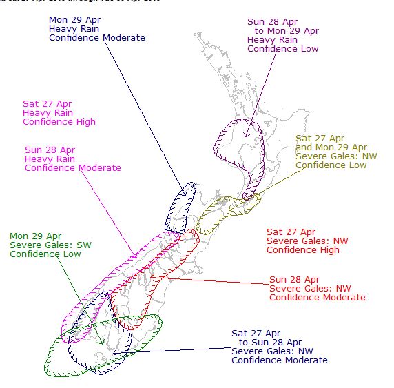
A MetService spokesman said the biggest rainfall accumulations are expected in Fiordland (north of Doubtful Sound), Westland (south of Otira), and about the Otago headwaters.
In Fiordland (north of Doubtful Sound), between 100m and 140mm of rain may fall between 9pm tonight and 9am tomorrow, with peak rates of 20mmh to 30mmh.
In the Otago headwaters, 80mm to 120mm of rain is expected to accumulate about the Divide, and 60mm to 90mm is expected to fall within 15km east of the Divide. Peak rates could reach 30mmh.
"Heavy rain may cause streams and rivers to rise rapidly.
"Surface flooding and slips are also possible and driving conditions may be hazardous.
"Please note, that a watch has been issued for the likelihood of northwest gales becoming severe in parts of Fiordland, Southland, Otago and Canterbury.
"People in these areas are advised to keep up to date with the latest forecasts and warnings.''


