
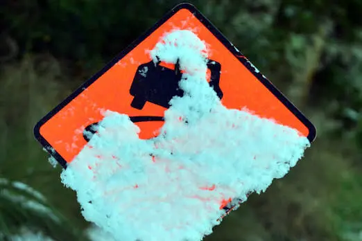
PHOTO
Spring continues to spring weather surprises with forecasters warning Dunedin could get a sprinkling of snow overnight.
MetService has issued a road snowfall warning for the Dunedin to Waitati highway as temperatures plummet.
The warning covers from 3am-6am on Sunday.
“Rain may briefly turn to snow about the summit but little, if any, is expected to settle on the road.”
Snow is expected in greater quantities elsewhere in Otago with a heavy snow watch in place for Central Otago and the Queenstown Lakes District.
MetService is forecasting heavy snow above 400 metres, where snowfall amounts may approach warning criteria from 1am-8am on Sunday.
Road snowfall warnings have been issued for the Crown Range Rd and the Lindis Pass with snow predicted to accumulate about the summit in the early hours of Sunday.
Severe weather warnings
Severe weather warnings are in place elsewhere in the country as a fast-moving cold front brings heavy rain, snow and severe gales on Sunday.
MetService has issued orange warnings for heavy rain in the Tararua Range, heavy snow in the Canterbury High Country and severe winds across parts of the lower North Island.
The Tararua Range could receive 60mm to 90mm of rain between 4am and 2pm, with peak rainfall rates of 15mm to 20mm an hour expected on Sunday morning.
MetService said streams and rivers could rise rapidly, with surface flooding, slips and difficult driving conditions possible.
An orange heavy snow warning is in place for the Canterbury High Country and plains near the foothills south of Arthur's Pass.
Between 5am and 11am, 10cm to 15cm of snow is expected to settle above 400m, with lesser amounts down to about 200m.
MetService said the snow could disrupt travel and damage trees and powerlines, while cold conditions could cause stress for livestock.
Orange strong wind warnings are in place for Wairarapa, the Tararua District and Hawke's Bay south of Hastings, as well as Wellington.
Severe west to northwest winds are expected to gust up to 120km/h in exposed places.
The winds are forecast to ease from the south in the Wairarapa, Tararua and Hawke's Bay on Sunday afternoon.
MetService has also issued road snowfall warnings for five South Island routes, with the heaviest accumulation forecast at Porters Pass.
- Porters Pass (SH73): 10cm to 15cm of snow about the summit between 7am and noon.
- Lindis Pass (SH8): 3cm to 8cm about the summit between 3am and 9am.
- Lewis Pass (SH7): 3cm to 6cm about the summit between 10am and 5pm.
- Arthur's Pass (SH73): 2cm to 5cm about the summit between 8am and 1pm.
- Milford Road (SH94): 2cm to 4cm above 400m before dawn, with snow showers continuing at higher elevations through the morning.
There are also yellow watches for heavy rain in Buller, heavy snow in Central Otago and the Queenstown Lakes District, and strong winds in Horowhenua, the Kāpiti Coast and Marlborough Sounds.
MetService said a front will move northwards over New Zealand on Sunday, bringing a period of heavy rain and west to northwest gales to central parts of the country.
A period of heavy snow is also expected across inland Otago and Canterbury.
The weather system is expected to move through relatively quickly, but MetService is warning of active conditions including snow affecting mountain passes and roads.
- Additional reporting RNZ