
PHOTO
A series of cold fronts is forecasted to move up the country in a wet and windy start to the school holidays.
MetService said blue skies were seen in most of New Zealand on Thursday, but showers over the South Island would travel north and linger in the west on Friday and Saturday.
Sunday would be especially wet, it said.
Meteorologist Samkelo Magwala said it was a typical spring pattern.
"Which is why these fronts are moving through quickly, resulting in less rainfall accumulation despite the briefly heavy rain.
"Parts of the North Island will wake to frosts on Friday morning and we're forecasting showers from the southwest on both Friday and Saturday before the main band of rain arrives with the front on Sunday."
MetService said the east could expect warm and dry conditions as a feed of air from the northwest moved in, with temperatures in the upper teens and low 20s on Saturday.
It said Sunday would be the more active day of weather as a front moved up the South Island.
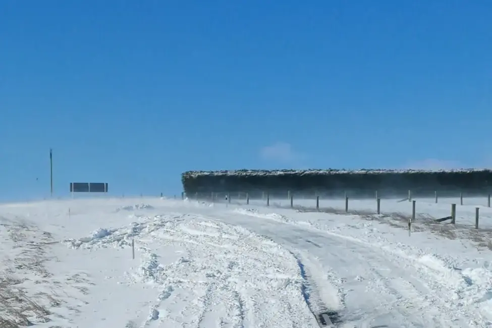
Heavy snow was possible above 600m for parts of Central Otago, Southern Lakes, and the Canterbury High Country in the morning.
Southwest gales were possible in coastal Clutha, Christchurch and along the Kaikōura coast.
Northwesterly gales would blow through Cook Straight and across into Wairarapa and southern Hawke's Bay as the front moved up the country.
MetService forecasted a more settled start for next week's weather.
